Le link, si vous preferez en franûÏaise (traductour a droite):
http://jefocemendiak.blogspot.com/2011/ ... olosa.htmlSalida express hecha ayer por el entorno de Altzo. No tenûÙamos mucho tiempo, y menos con el cambio de hora, de modo que improvisamos algo rûÀpido y cercano. Nos fuimos a Altzo y subimos el Ollagon, el repetidor de Tolosa. Fue un paseo.
Ubicaciû°n: Macizo de Ollagon, Gipuzkoa.
Cima: Ollagon (341m).
Desnivel acumulado: 144m.
Distancia: 3,34km.
Duraciû°n: 1h.
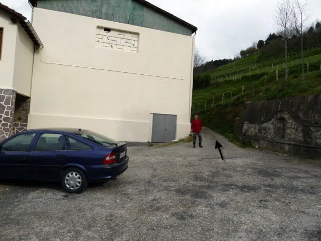
Acceso: Partimos desde las inmediaciones de Altzo. Desde Donostia salimos direcciû°n Vitoria por la N-1. Pasamos Tolosa y tomamos la salida de Alegia. No llegamos hasta ûˋl. Cogemos el primer desvûÙo que lleva a Altzo. Primero atravesamos Altzo azpi y seguimos por la carretera. En el prû°ximo desvûÙo, vamos por la izquierda (direcciû°n Tolosa). Aparcamos en el caserûÙo Zuaznabar Aundi.
Ver mapa mûÀs grande10:35. Dejamos el coche al lado de la ermita (199m) y comenzamos por el camino de la derecha.
[url=http://s187.photobucket.com/albums/x273/jefoce/2010%20noviembre/?action=view&current=P1000721_repor.jpg]
[/url]
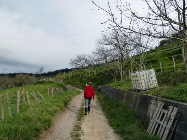
Gana metros cû°modamente.
[url=http://s187.photobucket.com/albums/x273/jefoce/2010%20noviembre/?action=view&current=P1000722_.jpg]
[/url]
[url=http://s187.photobucket.com/albums/x273/jefoce/2010%20noviembre/?action=view&current=P1000723_.jpg]
[/url]
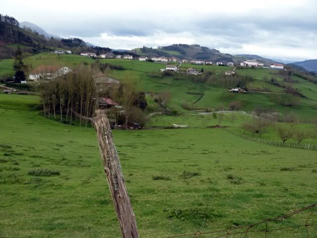
Con buenas vistas sobre Altzo.
[url=http://s187.photobucket.com/albums/x273/jefoce/2010%20noviembre/?action=view&current=P1000724_.jpg]
[/url]
[url=http://s187.photobucket.com/albums/x273/jefoce/2010%20noviembre/?action=view&current=P1000725_repor.jpg]
[/url]
[url=http://s187.photobucket.com/albums/x273/jefoce/2010%20noviembre/?action=view&current=P1000726_.jpg]
[/url]
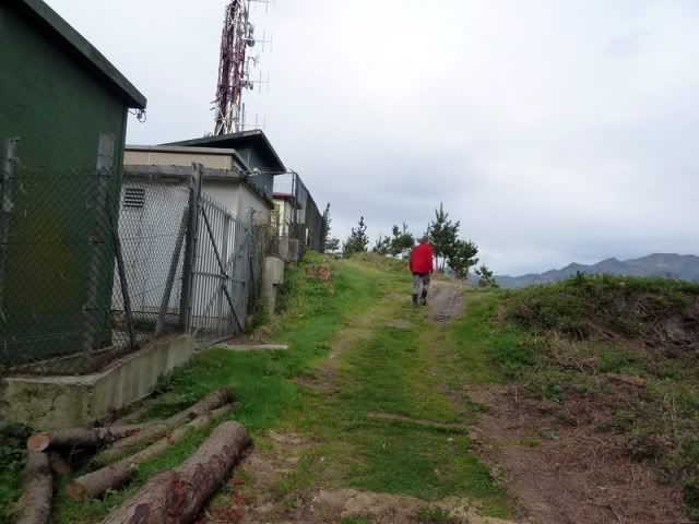
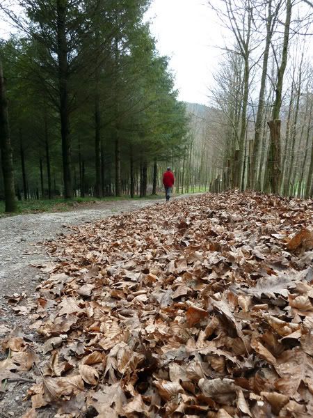
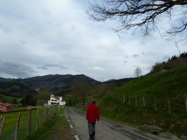
Se adentra en un pinar y gana altura con una serie de revueltas hacia la derecha (este).
[url=http://s187.photobucket.com/albums/x273/jefoce/2010%20noviembre/?action=view&current=P1000727_.jpg]
[/url]
Detalle de Alegia, pegado a la N-1.
[url=http://s187.photobucket.com/albums/x273/jefoce/2010%20noviembre/?action=view&current=P1000728_.jpg]
[/url]
Salimos al camino directo, que luego seguiremos de bajada, y tiramos para arriba.
[url=http://s187.photobucket.com/albums/x273/jefoce/2010%20noviembre/?action=view&current=P1000729_.jpg]
[/url]
[url=http://s187.photobucket.com/albums/x273/jefoce/2010%20noviembre/?action=view&current=P1000730_.jpg]
[/url]
Llegando a la cima.
[url=http://s187.photobucket.com/albums/x273/jefoce/2010%20noviembre/?action=view&current=P1000731_.jpg]
[/url]
[url=http://s187.photobucket.com/albums/x273/jefoce/2010%20noviembre/?action=view&current=P1000732_.jpg]
[/url]
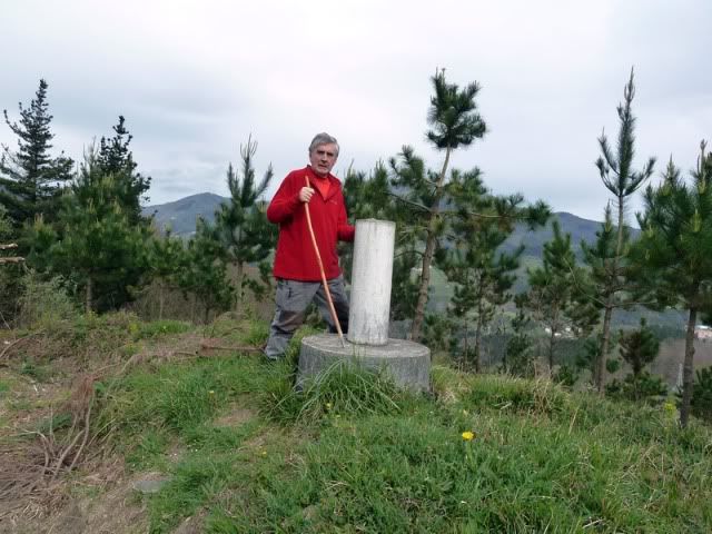
11:07. Ollagon (341m), en poco mûÀs de media hora desde el coche.
[url=http://s187.photobucket.com/albums/x273/jefoce/2010%20noviembre/?action=view&current=P1000733_.jpg]
[/url]
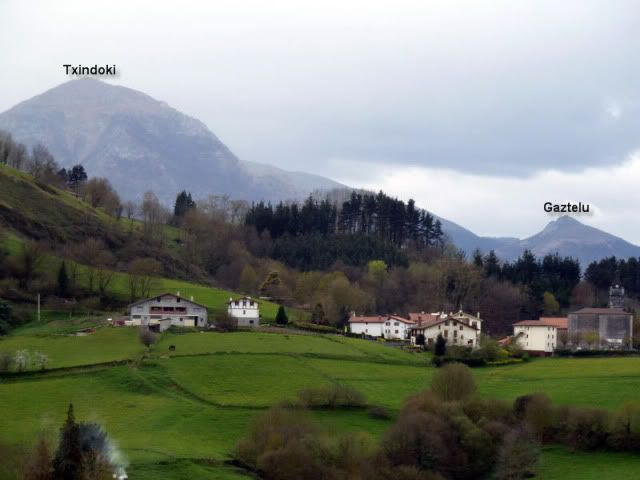
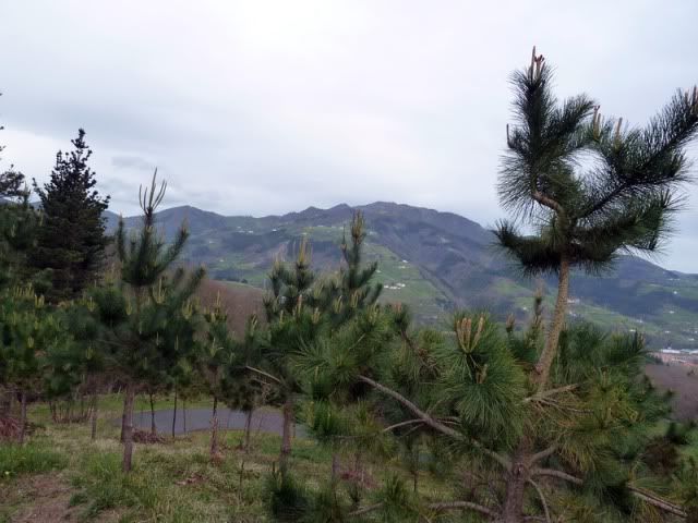
Hacia el Hernio.
[url=http://s187.photobucket.com/albums/x273/jefoce/2010%20noviembre/?action=view&current=P1000734_.jpg]
[/url]
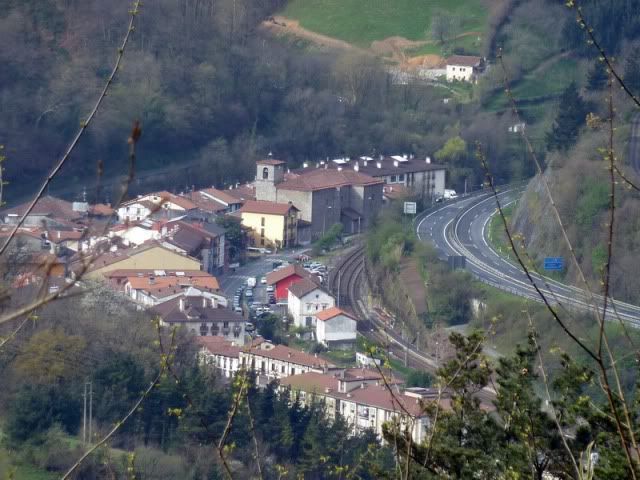
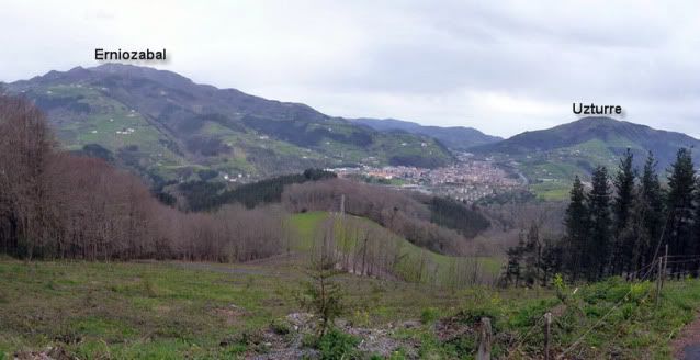
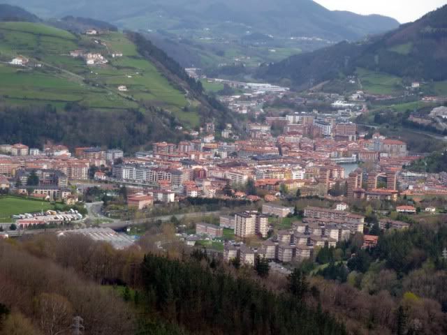
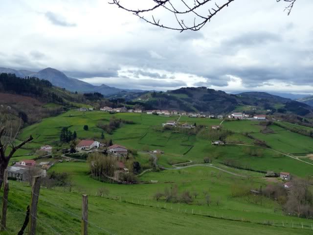
Una buena pano de Tolosa y alrededores. Desde la zona de Usabal sale una carretera que llega hasta la cima. Un duro puerto de montaûÝa.
[url=http://s187.photobucket.com/albums/x273/jefoce/2010%20noviembre/?action=view&current=pano1_repor-2.jpg]
[/url]
Detalle de Tolosa.
[url=http://s187.photobucket.com/albums/x273/jefoce/2010%20noviembre/?action=view&current=P1000739_.jpg]
[/url]
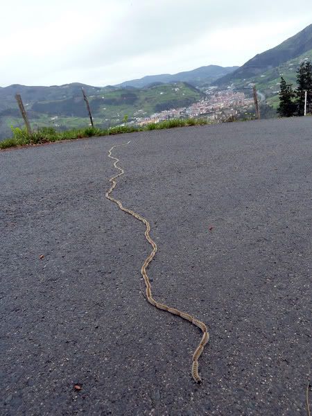
Y una procesionaria.
[url=http://s187.photobucket.com/albums/x273/jefoce/2010%20noviembre/?action=view&current=P1000740_.jpg]
[/url]
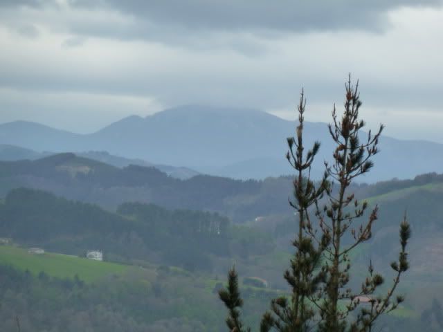
Me acerco al Aratz, en la sierra de Aizkorri, para comprobar que viene el mal tiempo. Ya caen las primeras gotas.
[url=http://s187.photobucket.com/albums/x273/jefoce/2010%20noviembre/?action=view&current=P1000741_.jpg]
[/url]
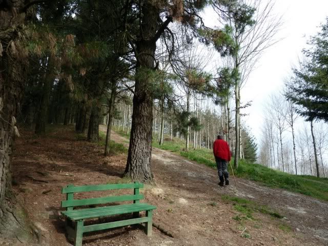
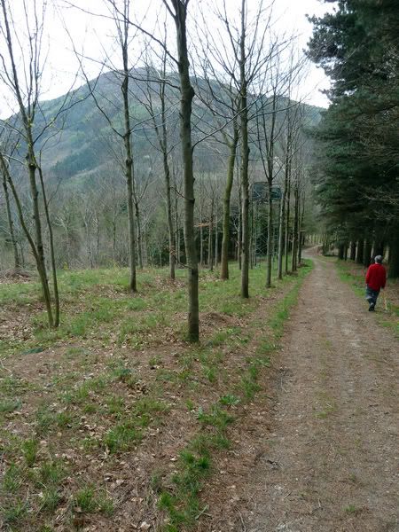
AsûÙ que bajamos derechos al coche.
[url=http://s187.photobucket.com/albums/x273/jefoce/2010%20noviembre/?action=view&current=P1000742_.jpg]
[/url]
[url=http://s187.photobucket.com/albums/x273/jefoce/2010%20noviembre/?action=view&current=P1000743_.jpg]
[/url]
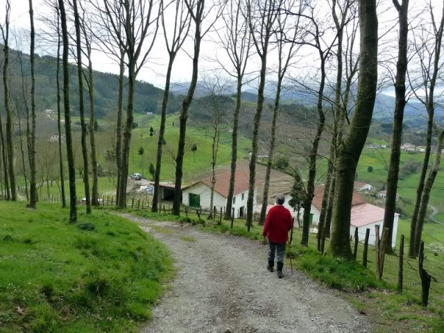
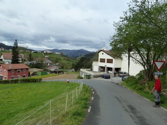
Pasando por el caserûÙo Sarobe.
[url=http://s187.photobucket.com/albums/x273/jefoce/2010%20noviembre/?action=view&current=P1000744_.jpg]
[/url]
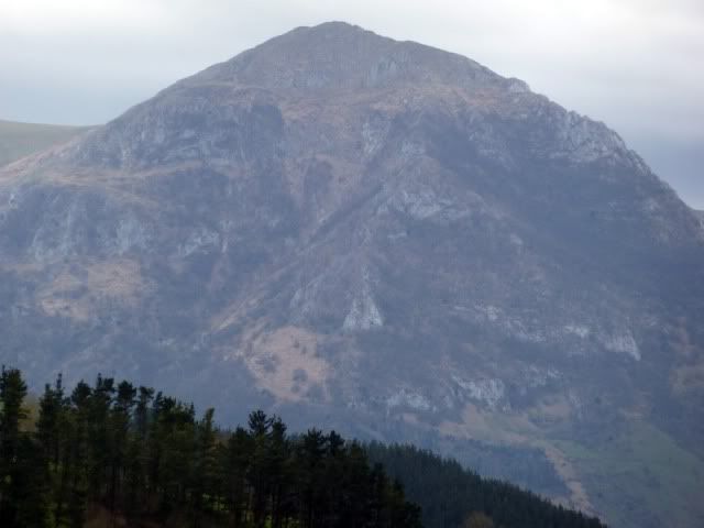
El Txindoki, un gigante.
[url=http://s187.photobucket.com/albums/x273/jefoce/2010%20noviembre/?action=view&current=P1000745_.jpg]
[/url]
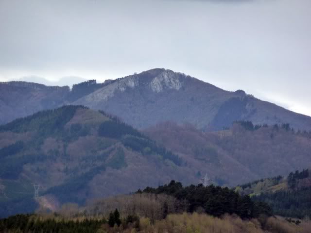
El Murumendi, al este del puerto de Mandubia.
[url=http://s187.photobucket.com/albums/x273/jefoce/2010%20noviembre/?action=view&current=P1000746_.jpg]
[/url]
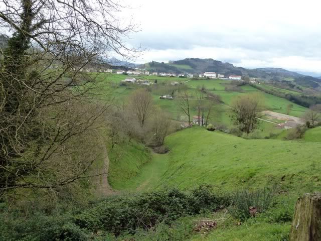
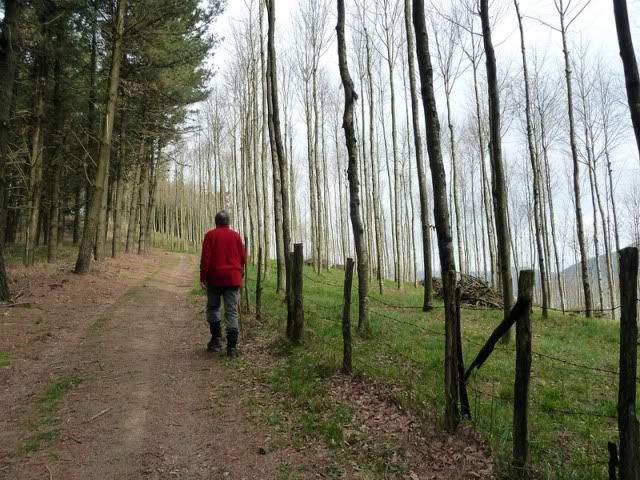
Entorno de Altzo. Bonito y tranquilo hasta decir basta.
[url=http://s187.photobucket.com/albums/x273/jefoce/2010%20noviembre/?action=view&current=P1000747_.jpg]
[/url]
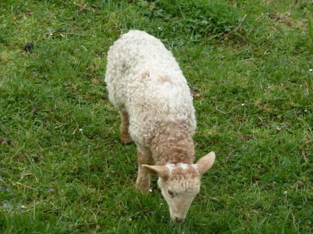
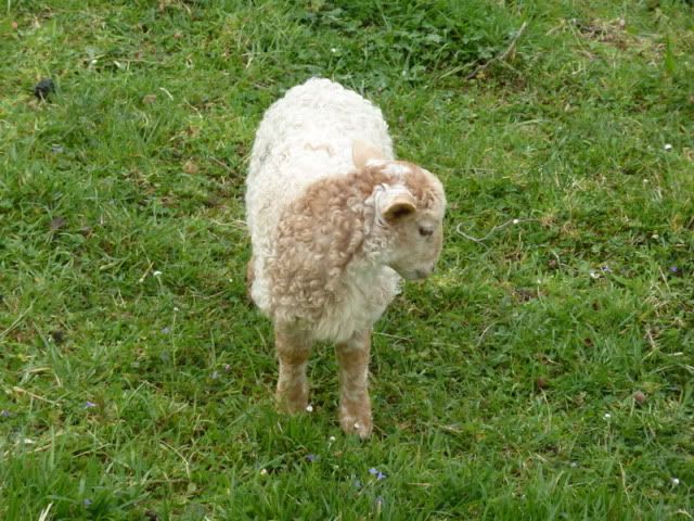
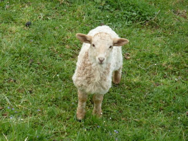
Secuencia de un cordero.
[url=http://s187.photobucket.com/albums/x273/jefoce/2010%20noviembre/?action=view&current=P1000748_.jpg]
[/url]
[url=http://s187.photobucket.com/albums/x273/jefoce/2010%20noviembre/?action=view&current=P1000749_.jpg]
[/url]
[url=http://s187.photobucket.com/albums/x273/jefoce/2010%20noviembre/?action=view&current=P1000750_.jpg]
[/url]
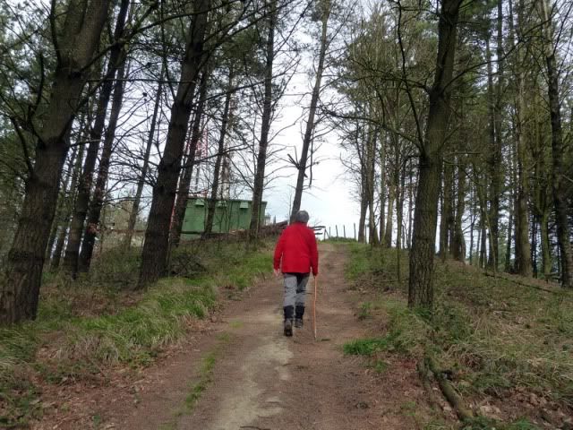
Llegando al coche.
[url=http://s187.photobucket.com/albums/x273/jefoce/2010%20noviembre/?action=view&current=P1000751_.jpg]
[/url]
[url=http://s187.photobucket.com/albums/x273/jefoce/2010%20noviembre/?action=view&current=P1000752_.jpg]
[/url]
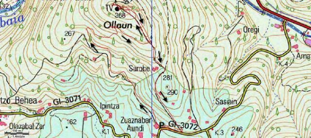
Y os dejo el mapa.
[url=http://s187.photobucket.com/albums/x273/jefoce/2010%20noviembre/?action=view&current=Ollagon-1.jpg]
[/url]
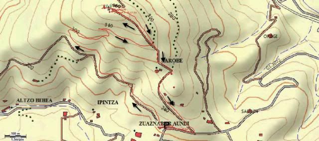
Y os dejo el mapa de Topopiris.
[url=http://s187.photobucket.com/albums/x273/jefoce/2010%20noviembre/?action=view&current=Topopiris-1.jpg]
[/url]
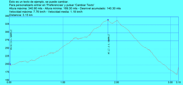
Y os dejo el perfil.
[url=http://s187.photobucket.com/albums/x273/jefoce/2010%20noviembre/?action=view&current=Ollagon.png]
[/url]
Y en wikiloc os dejo el track:
ver trackLAS NOTAS (La escala es del 1 al 5):
DIFICULTAD: 1. Paseo sin ninguna complicaciû°n.
BELLEZA DEL ITINERARIO: 2,5. El camino no es muy montaûÝero, pero las vistas hacia Tolosaldea y el entorno de Altzo compensan la balanza.
IMPORTANCIA DE LA CUMBRE: 1.
Y ASû LO VIO MI PADRE: Mi partenaire me comenta que "fue una excursiû°n dominguera apta para jubilados".
ûste es el Ollagon. El repetidor de Tolosa.