El martes me acerquûˋ a los Montes de Vitoria para realizar una semicircular partiendo desde Eskibel. Primero conocûÙ la torre homû°nima, y luego accedûÙ al cordal para recorrer las cimas de Busto, San Miguel y Zaldiaran. Fue un itinerario bonito, entretenido entre el arbolado, y que tiene un encanto especial al situarse tan cerca de la ciudad. Ya me gustû°, ya.
Ubicaciû°n: Montes de Vitoria, ûlava.
Cimas: Eskibel (812m), Busto (977m), San Miguel (946m) y Zaldiaran (980m).
Desnivel acumulado: 596m.
Distancia: 13,17km.
Duraciû°n: 3h y 40min.
Acceso: Partimos desde la localidad alavesa de Eskibel, a las fueras de Vitoria. Desde Donostia salimos direcciû°n Vitoria por la N-1. Circunvalamos la capital alavesa hasta tomar la salida de Gomecha. Tiramos hacia Vitoria y estamos atentos a la salida que, por la derecha, lleva a Eskibel.
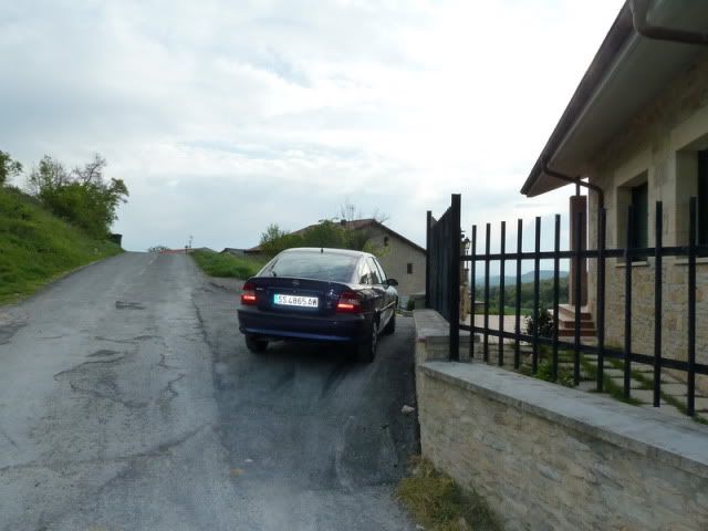
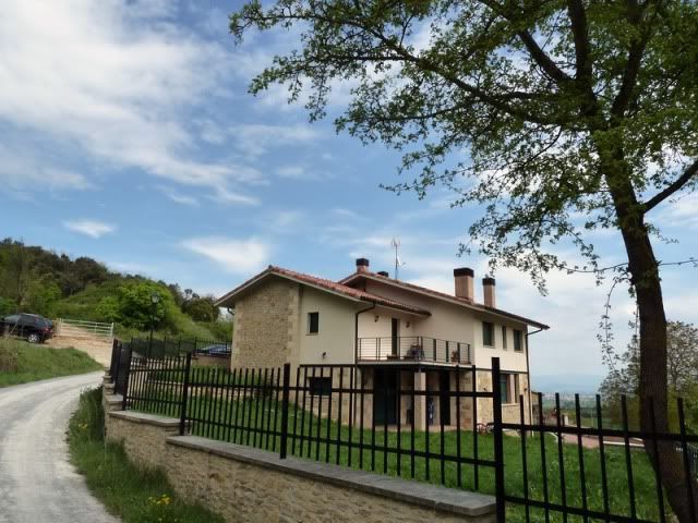
Ver mapa mûÀs grande9:40. Apuro el pueblo hasta el final para dejar el coche al lado de un chalet. Vuelvo tras mis pasos.
[url=http://s187.photobucket.com/albums/x273/jefoce/2010%20noviembre/?action=view&current=P1010089_.jpg]
[/url]
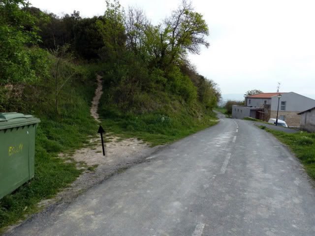
Y tomo una senda que sube hacia la izquierda (flecha negra).
[url=http://s187.photobucket.com/albums/x273/jefoce/2010%20noviembre/?action=view&current=P1010090_repor.jpg]
[/url]
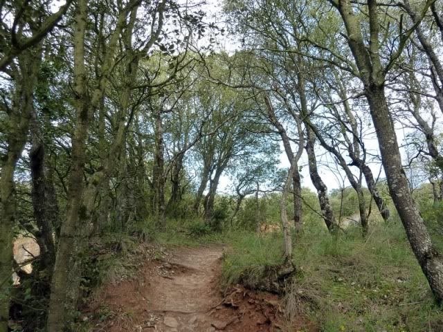
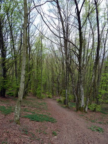
Sube cû°modamente entre encinas y robles jû°venes.
[url=http://s187.photobucket.com/albums/x273/jefoce/2010%20noviembre/?action=view&current=P1010091_.jpg]
[/url]
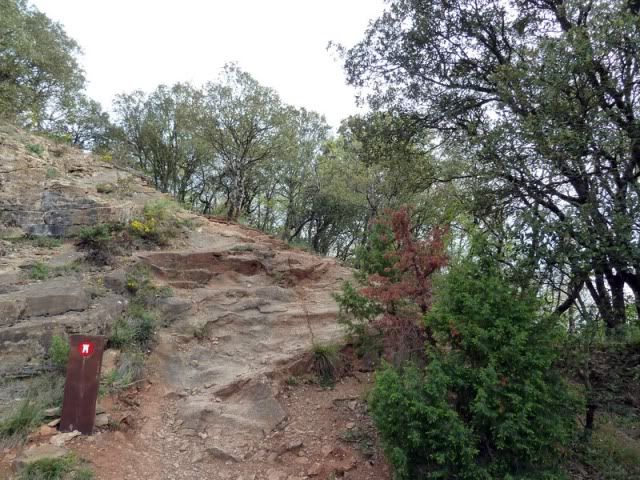
Es un camino bien balizado hasta la torre.
[url=http://s187.photobucket.com/albums/x273/jefoce/2010%20noviembre/?action=view&current=P1010092_.jpg]
[/url]
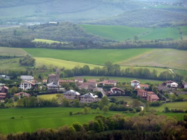
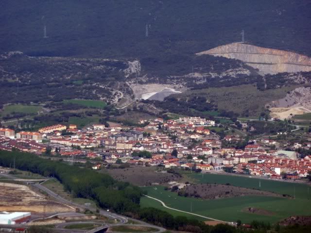
Berrostegieta.
[url=http://s187.photobucket.com/albums/x273/jefoce/2010%20noviembre/?action=view&current=P1010094_.jpg]
[/url]
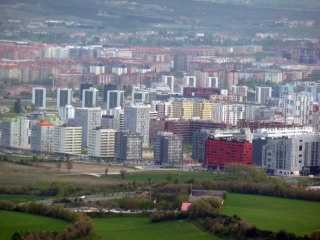
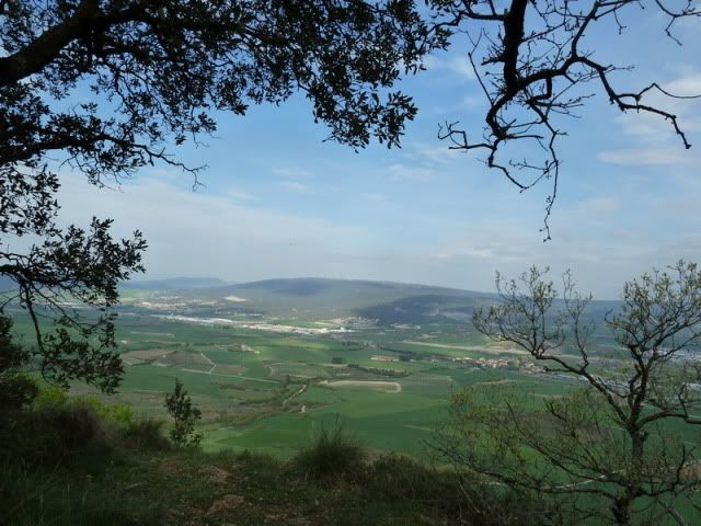
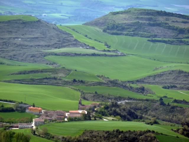
Y Vitoria, tan cerca, tan lejos.
[url=http://s187.photobucket.com/albums/x273/jefoce/2010%20noviembre/?action=view&current=P1010095_.jpg]
[/url]
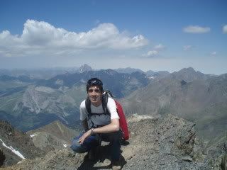
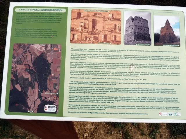
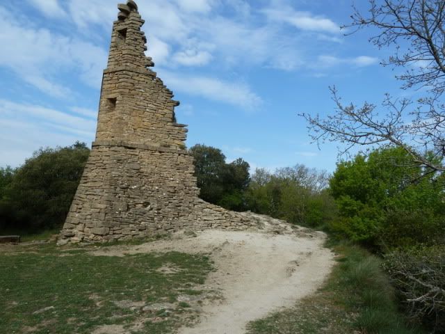
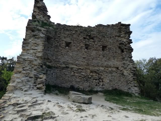
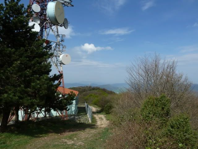
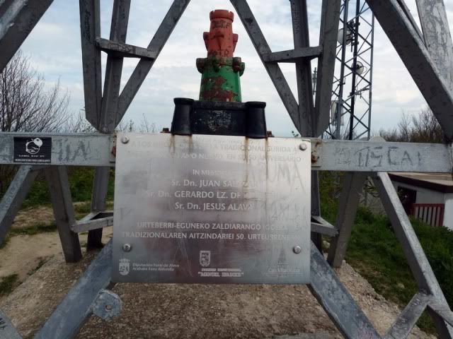
Eskibel (812m).
[url=http://s187.photobucket.com/albums/x273/jefoce/2010%20noviembre/?action=view&current=P1010097_.jpg]
[/url]
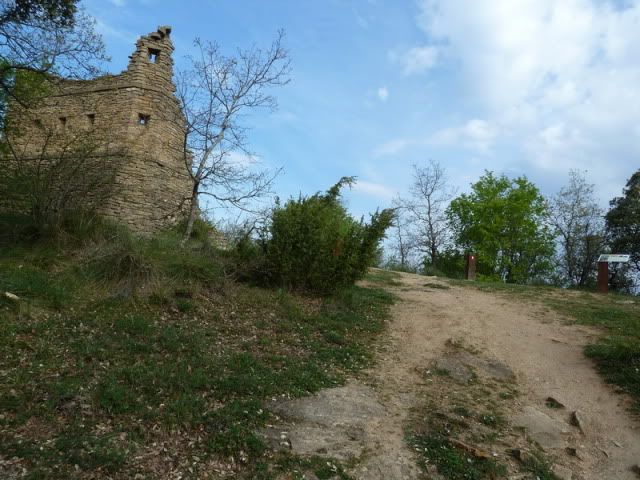
Con su historia.
[url=http://s187.photobucket.com/albums/x273/jefoce/2010%20noviembre/?action=view&current=P1010098_.jpg]
[/url]
[url=http://s187.photobucket.com/albums/x273/jefoce/2010%20noviembre/?action=view&current=P1010099_.jpg]
[/url]
[url=http://s187.photobucket.com/albums/x273/jefoce/2010%20noviembre/?action=view&current=P1010100_.jpg]
[/url]
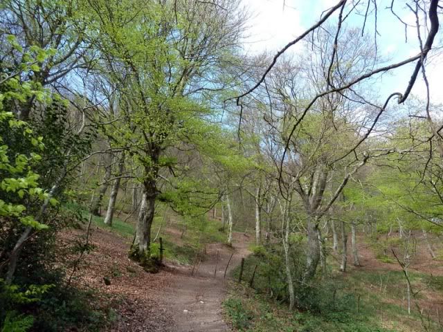
Sigo una estrecha trocha que recorre el monte hacia el oeste.
[url=http://s187.photobucket.com/albums/x273/jefoce/2010%20noviembre/?action=view&current=P1010102_.jpg]
[/url]
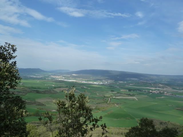
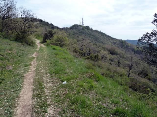
Con bonitas vistas sobre los alrededores de Vitoria.
[url=http://s187.photobucket.com/albums/x273/jefoce/2010%20noviembre/?action=view&current=P1010105_.jpg]
[/url]
[url=http://s187.photobucket.com/albums/x273/jefoce/2010%20noviembre/?action=view&current=P1010106_.jpg]
[/url]
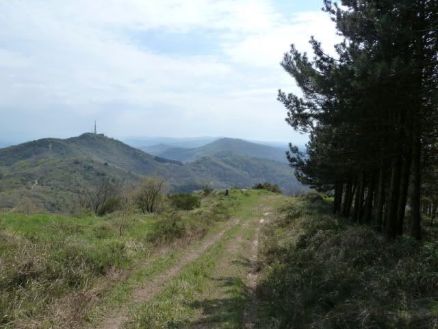
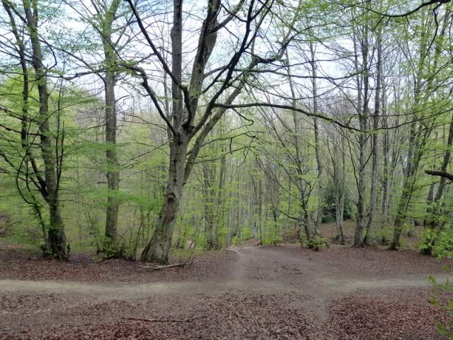
Salgo a una pista y tiro hacia el sur, hacia el cordal.
[url=http://s187.photobucket.com/albums/x273/jefoce/2010%20noviembre/?action=view&current=P1010109_.jpg]
[/url]
[url=http://s187.photobucket.com/albums/x273/jefoce/2010%20noviembre/?action=view&current=P1010110_.jpg]
[/url]
Para cambiar de tercio y penetrar en el hayedo.
[url=http://s187.photobucket.com/albums/x273/jefoce/2010%20noviembre/?action=view&current=P1010112_.jpg]
[/url]
Con el collado a tiro.
[url=http://s187.photobucket.com/albums/x273/jefoce/2010%20noviembre/?action=view&current=P1010113_.jpg]
[/url]
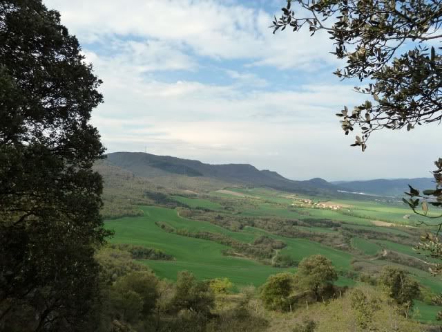
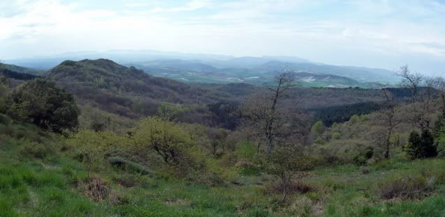
Diviso el sur.
[url=http://s187.photobucket.com/albums/x273/jefoce/2010%20noviembre/?action=view&current=pano1_-2.jpg]
[/url]
Y giro a la derecha (oeste), hacia el Busto.
[url=http://s187.photobucket.com/albums/x273/jefoce/2010%20noviembre/?action=view&current=P1010114_.jpg]

[/url]
[url=http://s187.photobucket.com/albums/x273/jefoce/2010%20noviembre/?action=view&current=P1010118_.jpg]
[/url]
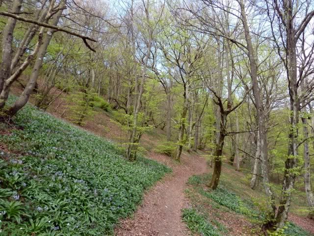
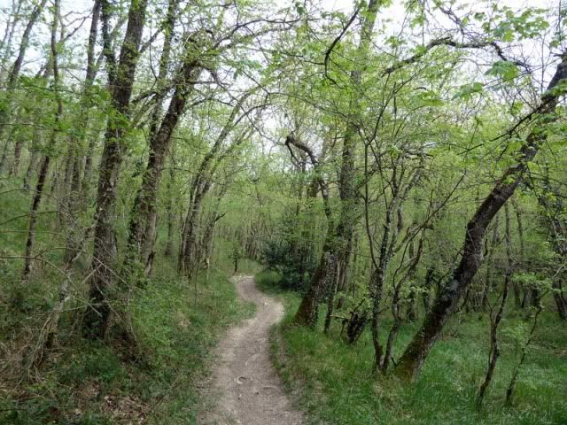
La parte final es tambiûˋn por otro bosque delicioso.
[url=http://s187.photobucket.com/albums/x273/jefoce/2010%20noviembre/?action=view&current=P1010119_.jpg]
[/url]
[url=http://s187.photobucket.com/albums/x273/jefoce/2010%20noviembre/?action=view&current=P1010120_.jpg]
[/url]
Y al final, se gira a la izquierda.
[url=http://s187.photobucket.com/albums/x273/jefoce/2010%20noviembre/?action=view&current=P1010121_.jpg]
[/url]
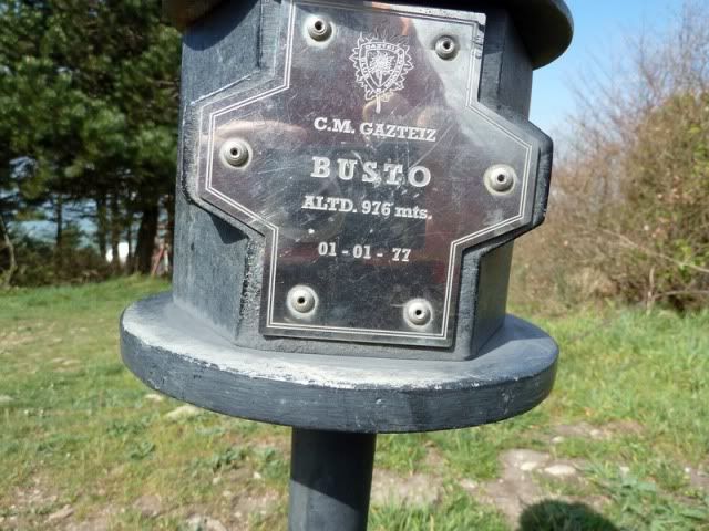
Busto (977m).
[url=http://s187.photobucket.com/albums/x273/jefoce/2010%20noviembre/?action=view&current=P1010122_.jpg]
[/url]
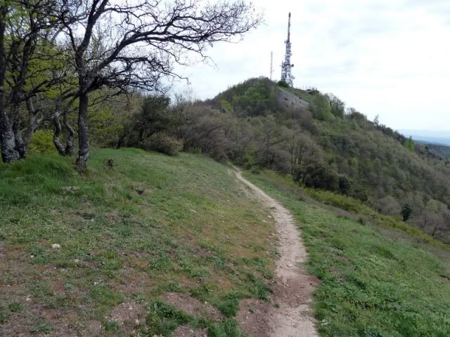
Hacia San Miguel.
[url=http://s187.photobucket.com/albums/x273/jefoce/2010%20noviembre/?action=view&current=P1010123_.jpg]
[/url]
Hacia Zaldiaran.
[url=http://s187.photobucket.com/albums/x273/jefoce/2010%20noviembre/?action=view&current=P1010124_.jpg]
[/url]
[url=http://s187.photobucket.com/albums/x273/jefoce/2010%20noviembre/?action=view&current=P1010125_.jpg]
[/url]
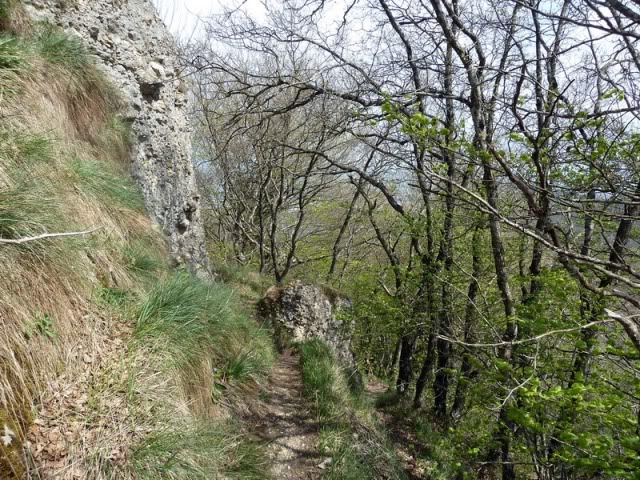
Converso con una pareja de alaveses y sigo adelante tras comer algo. Tomo el sendero que va al lado del corte. Luego volverûˋ por la pista.
[url=http://s187.photobucket.com/albums/x273/jefoce/2010%20noviembre/?action=view&current=P1010126_.jpg]
[/url]
Nanclares de la Oca.
[url=http://s187.photobucket.com/albums/x273/jefoce/2010%20noviembre/?action=view&current=P1010129_.jpg]
[/url]
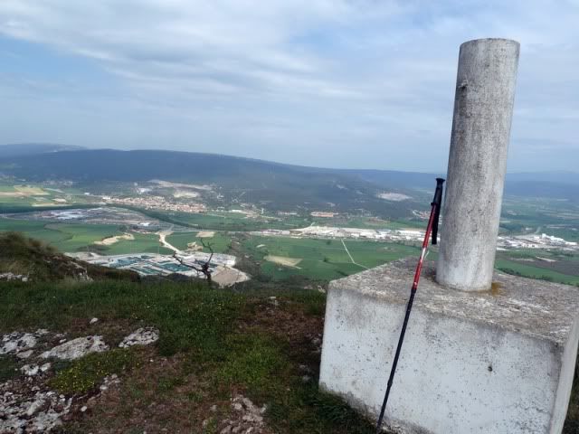
San Miguel (946m).
[url=http://s187.photobucket.com/albums/x273/jefoce/2010%20noviembre/?action=view&current=P1010131_.jpg]
[/url]
[url=http://s187.photobucket.com/albums/x273/jefoce/2010%20noviembre/?action=view&current=P1010132_.jpg]
[/url]
[url=http://s187.photobucket.com/albums/x273/jefoce/2010%20noviembre/?action=view&current=P1010133_.jpg]
[/url]
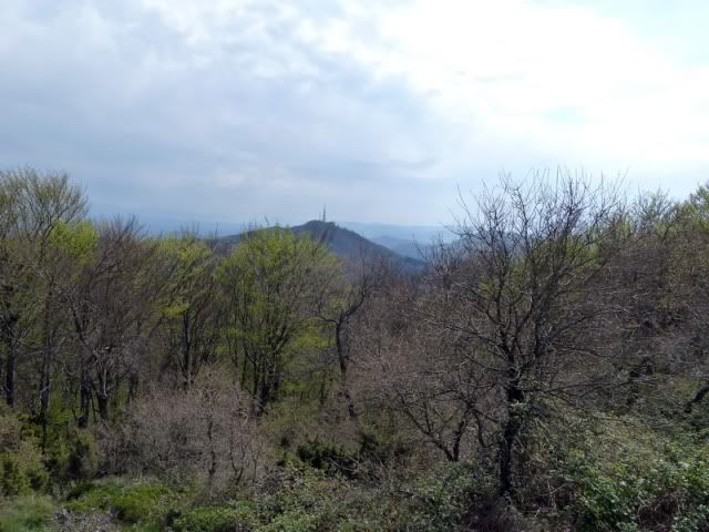
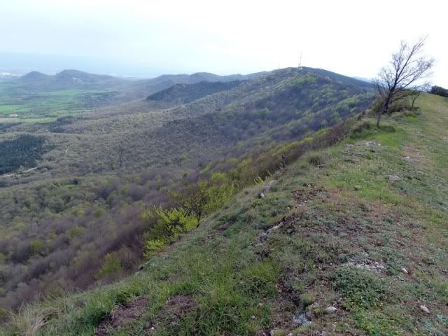
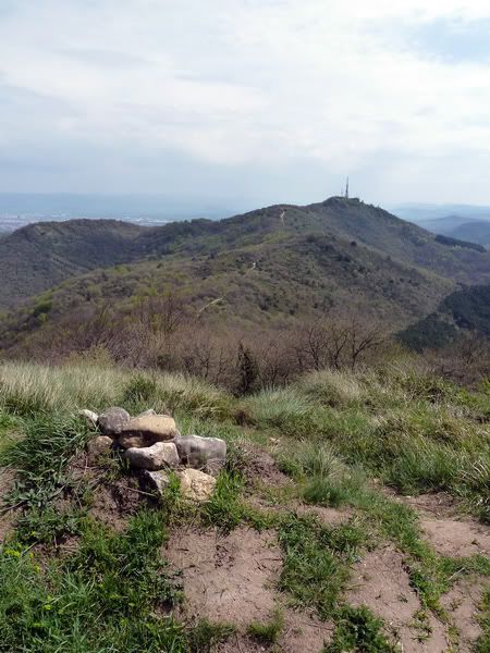
El cordal recorrido.
[url=http://s187.photobucket.com/albums/x273/jefoce/2010%20noviembre/?action=view&current=P1010134_.jpg]
[/url]
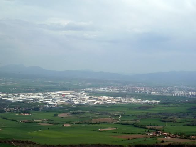
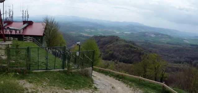
Vitoria.
[url=http://s187.photobucket.com/albums/x273/jefoce/2010%20noviembre/?action=view&current=P1010135_.jpg]
[/url]
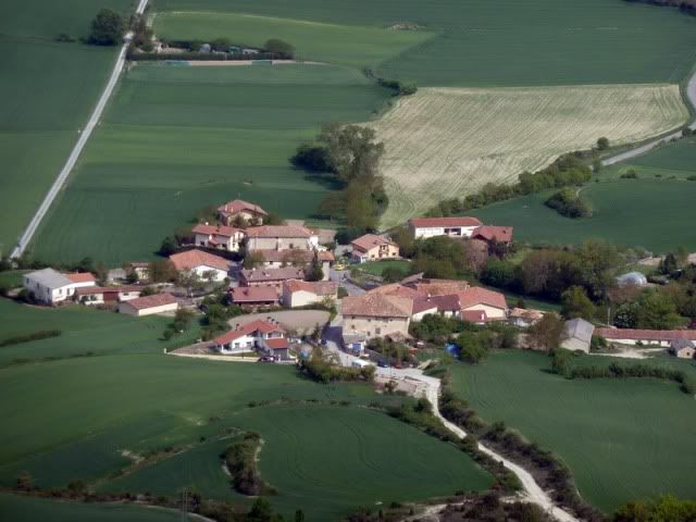
Subijana.
[url=http://s187.photobucket.com/albums/x273/jefoce/2010%20noviembre/?action=view&current=P1010136_.jpg]
[/url]
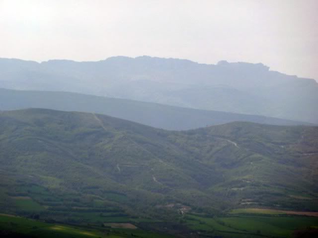
ToloûÝo.
[url=http://s187.photobucket.com/albums/x273/jefoce/2010%20noviembre/?action=view&current=P1010137_.jpg]
[/url]
Zurbitu.
[url=http://s187.photobucket.com/albums/x273/jefoce/2010%20noviembre/?action=view&current=P1010138_.jpg]
[/url]
Vuelvo por la pista hacia el Busto.
[url=http://s187.photobucket.com/albums/x273/jefoce/2010%20noviembre/?action=view&current=P1010139_.jpg]
[/url]
[url=http://s187.photobucket.com/albums/x273/jefoce/2010%20noviembre/?action=view&current=P1010140_.jpg]
[/url]
Y ahora tomo el camino que sigue el cordal (derecha).
[url=http://s187.photobucket.com/albums/x273/jefoce/2010%20noviembre/?action=view&current=P1010141_.jpg]
[/url]
Para abandonarlo al lado del mugarri.
[url=http://s187.photobucket.com/albums/x273/jefoce/2010%20noviembre/?action=view&current=P1010142_.jpg]
[/url]
Por aquûÙ.
[url=http://s187.photobucket.com/albums/x273/jefoce/2010%20noviembre/?action=view&current=P1010143_.jpg]
[/url]
Un camino en fuerte pendiente me lleva para abajo.
[url=http://s187.photobucket.com/albums/x273/jefoce/2010%20noviembre/?action=view&current=P1010144_.jpg]
[/url]
Para salir al hayedo.
[url=http://s187.photobucket.com/albums/x273/jefoce/2010%20noviembre/?action=view&current=P1010146_.jpg]
[/url]
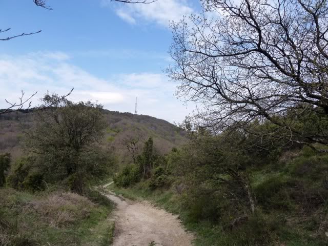
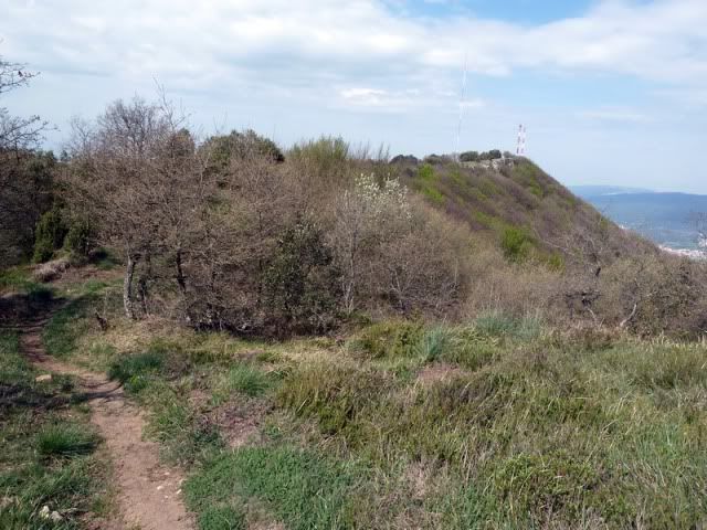
Y me encamino al Zaldiaran.
[url=http://s187.photobucket.com/albums/x273/jefoce/2010%20noviembre/?action=view&current=P1010147_.jpg]
[/url]
[url=http://s187.photobucket.com/albums/x273/jefoce/2010%20noviembre/?action=view&current=P1010149_.jpg]
[/url]
Otra vez por hayedo.
[url=http://s187.photobucket.com/albums/x273/jefoce/2010%20noviembre/?action=view&current=P1010150_.jpg]
[/url]
[url=http://s187.photobucket.com/albums/x273/jefoce/2010%20noviembre/?action=view&current=P1010151_.jpg]
[/url]
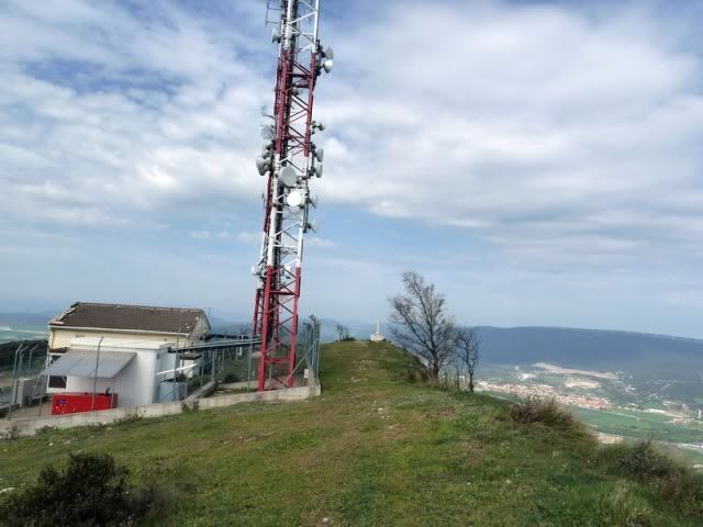
Zaldiaran (980m).
[url=http://s187.photobucket.com/albums/x273/jefoce/2010%20noviembre/?action=view&current=P1010152_.jpg]
[/url]
Vista al sur.
[url=http://s187.photobucket.com/albums/x273/jefoce/2010%20noviembre/?action=view&current=pano2_-3.jpg]
[/url]
Dejo esta cima.
[url=http://s187.photobucket.com/albums/x273/jefoce/2010%20noviembre/?action=view&current=P1010156_.jpg]
[/url]
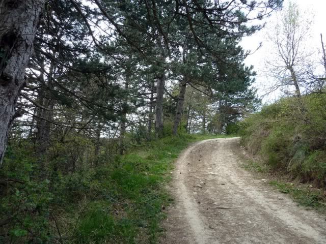
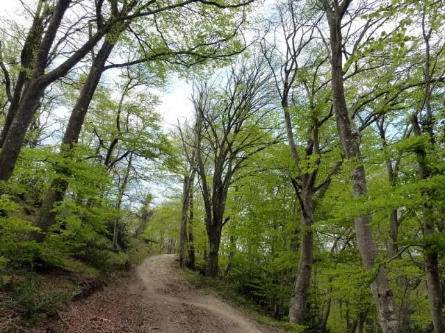
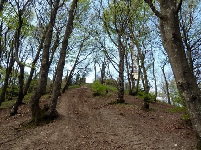
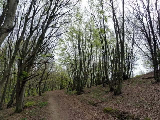
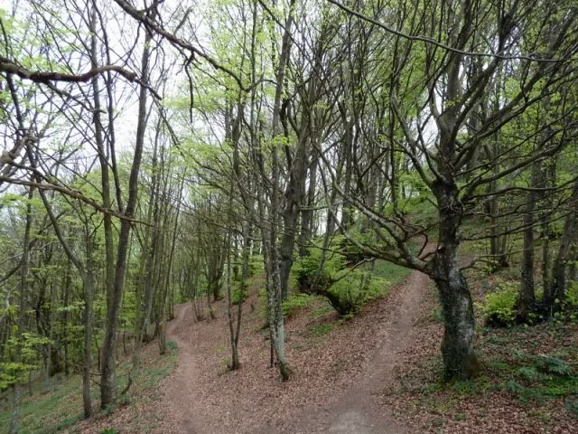
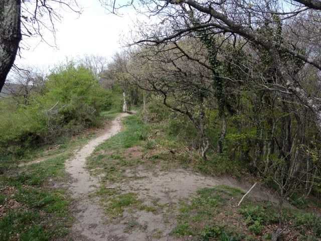
Para regresar a Eskibel por un hayedo muy bonito.
[url=http://s187.photobucket.com/albums/x273/jefoce/2010%20noviembre/?action=view&current=P1010157_.jpg]
[/url]
[url=http://s187.photobucket.com/albums/x273/jefoce/2010%20noviembre/?action=view&current=P1010158_.jpg]
[/url]
[url=http://s187.photobucket.com/albums/x273/jefoce/2010%20noviembre/?action=view&current=P1010159_.jpg]
[/url]
Luego robledal.
[url=http://s187.photobucket.com/albums/x273/jefoce/2010%20noviembre/?action=view&current=P1010161_.jpg]
[/url]
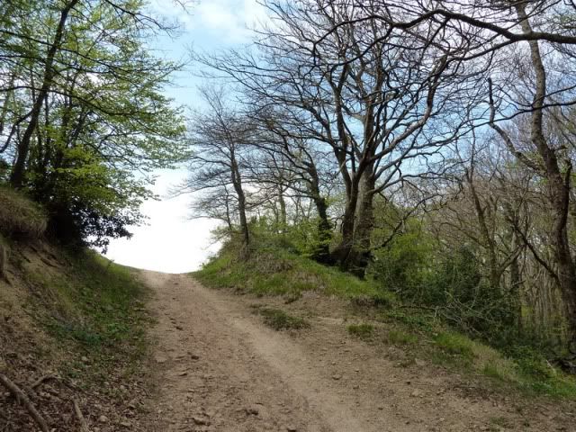
Hasta llegar a esta gran explanada.
[url=http://s187.photobucket.com/albums/x273/jefoce/2010%20noviembre/?action=view&current=P1010162_.jpg]
[/url]
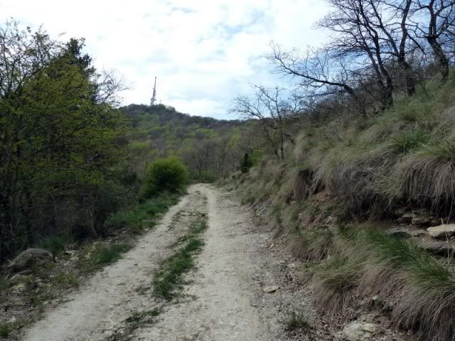
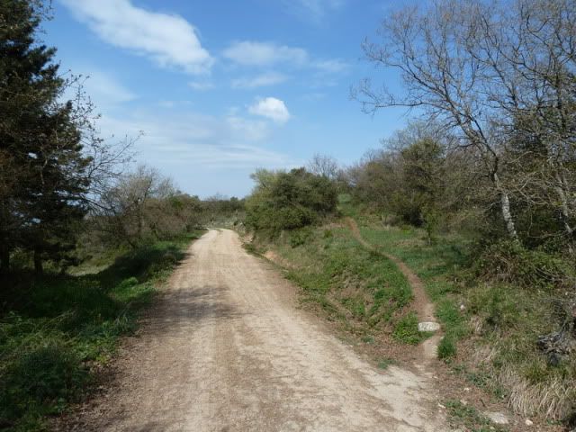
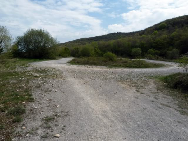
Y por pista al punto de partida.
[url=http://s187.photobucket.com/albums/x273/jefoce/2010%20noviembre/?action=view&current=P1010163_.jpg]
[/url]
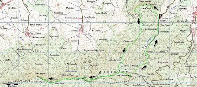
Y os dejo el mapa.
[url=http://s187.photobucket.com/albums/x273/jefoce/2010%20noviembre/?action=view&current=Vitoria.jpg]
[/url]
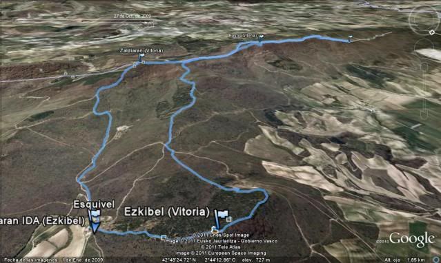
Y os dejo el mapa 3D de Google Earth.
[url=http://s187.photobucket.com/albums/x273/jefoce/2010%20noviembre/?action=view&current=Earth.jpg]
[/url]
Me quedûˋ sin pilas, pero os dejo un track muy similar de wikiloc:
ver trackLAS NOTAS (La escala es del 1 al 5):
DIFICULTAD: 2,5. Es un itinerario que se hace fûÀcil, aunque exige atenciû°n en los muchos desvûÙos que hay. Fuertes repechos, sobre todo al descenso.
BELLEZA DEL ITINERARIO: 3. Los bosques son muy agradables y se respira mucha tranquilidad, pese a estar tan cerca de la capital.
IMPORTANCIA DE LA CUMBRE: 3.
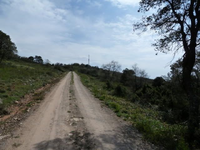
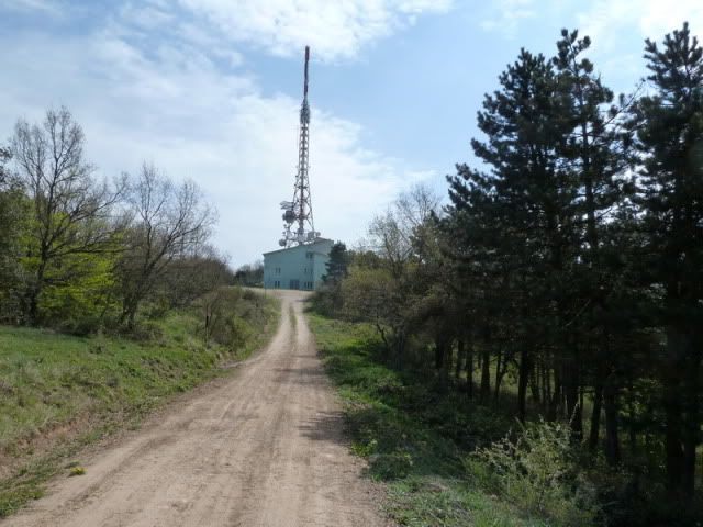
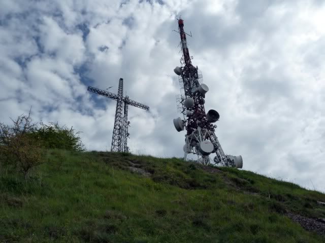
En definitiva, una ruta muy bonita por los accesos, aunque el grupo de antenas les reste encanto a tres de las cimas.