El miûˋrcoles me trasladûˋ al refugio de Linza para completar un triplete kûÀrstico. Merodeûˋ la zona de La Mesa de los Tres Reyes. Me internûˋ por sus cimas secundarias. Y descubrûÙ un mundo salvaje, solitario y cautivador. El tiempo se estropeû° a mitad de camino y anduve bajo la niebla en el entorno de las cumbres. Eso, quizûÀ, le dio mûÀs intriga a la jornada.
Ubicaciû°n: Macizo de Larra, Pirineos, Navarra.
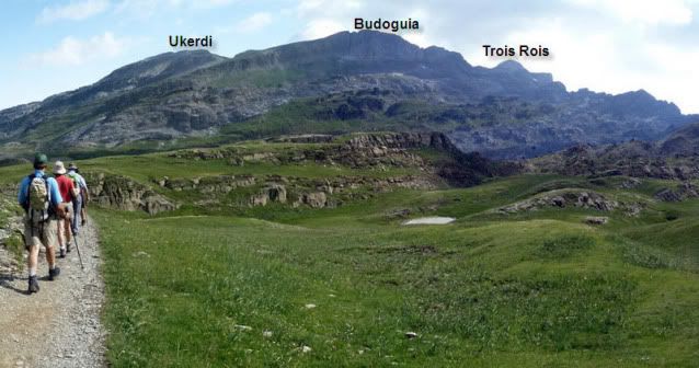
Cimas: Ukerdi (2.239m), Linza (2.341m) y Budoguia (2.381m).
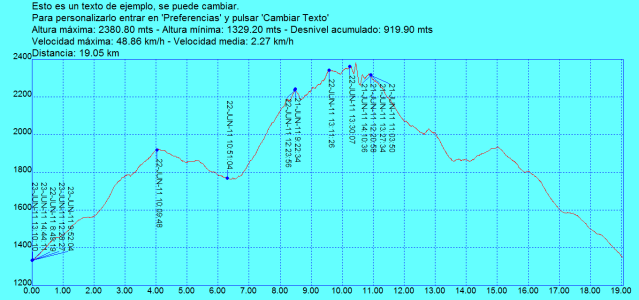
Desnivel acumulado: 1.423m.
Distancia: 18,24km.
Duraciû°n: 8h y 20min.
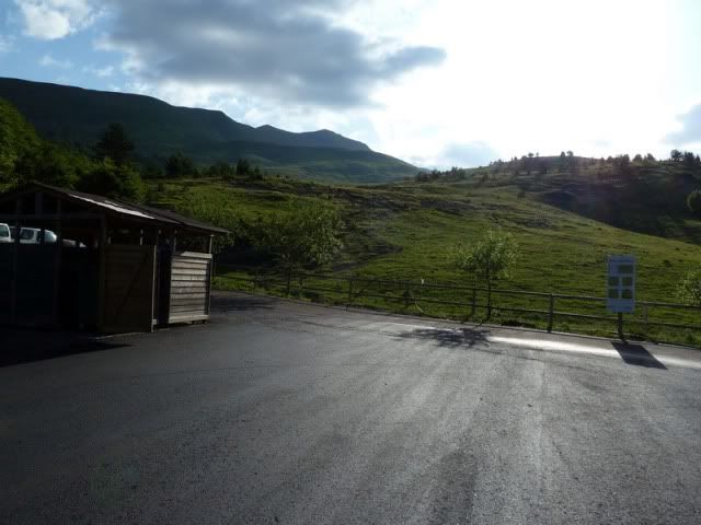
Acceso: Partimos desde el refugio de Linza, comunicado mediante una carretera asfaltada desde el camping de Zuriza. Ojo, porque Google Maps seûÝala una ubicaciû°n errû°nea.
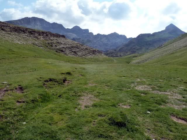
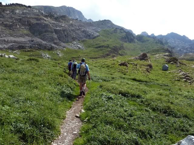
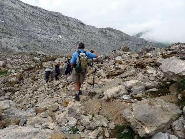
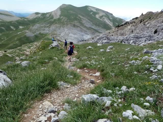
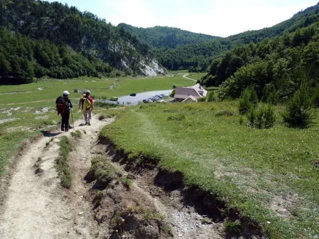
Ver mapa mûÀs grande 8:49. Partimos desde el refugio de Linza (1.336m) por el archiconocido camino de La Mesa de los Tres Reyes.
[url=http://s187.photobucket.com/albums/x273/jefoce/2010%20noviembre/?action=view&current=P1010638_resize.jpg]
[/url]
[url=http://s187.photobucket.com/albums/x273/jefoce/2010%20noviembre/?action=view&current=P1010639_resize.jpg]
[/url]
En la curva del Sobrante de Linza.
[url=http://s187.photobucket.com/albums/x273/jefoce/2010%20noviembre/?action=view&current=P1010641_resize.jpg]

[/url]
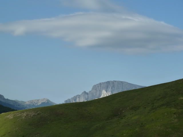
De momento el tiempo marcha bien, y me entretengo con las nubes lenticulares. ûsta, encima del Ezkaurre.
[url=http://s187.photobucket.com/albums/x273/jefoce/2010%20noviembre/?action=view&current=P1010643_resize.jpg]
[/url]
Chinebral de Gamueta.
[url=http://s187.photobucket.com/albums/x273/jefoce/2010%20noviembre/?action=view&current=P1010644_resize.jpg]
[/url]
Acherito.
[url=http://s187.photobucket.com/albums/x273/jefoce/2010%20noviembre/?action=view&current=P1010645_resize.jpg]
[/url]
Ruzquia y Espelunga.
[url=http://s187.photobucket.com/albums/x273/jefoce/2010%20noviembre/?action=view&current=P1010646_resize.jpg]
[/url]
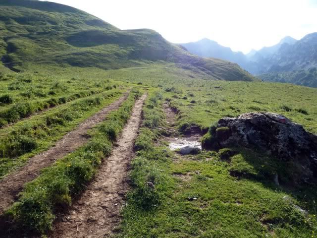
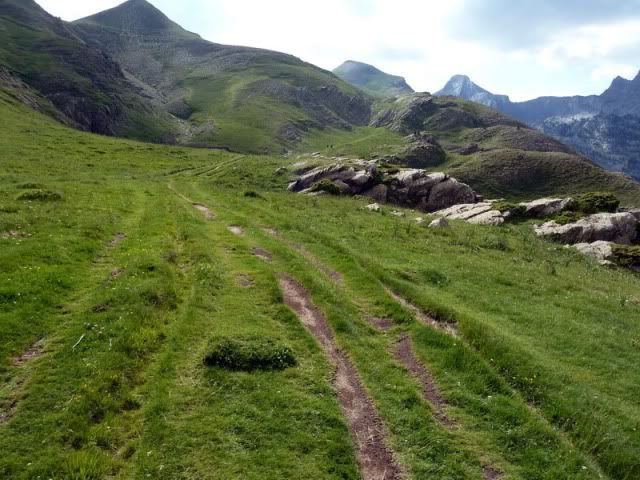
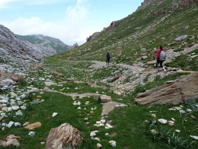
Sigo hacia el collado de Linza. Disfrutando.
[url=http://s187.photobucket.com/albums/x273/jefoce/2010%20noviembre/?action=view&current=P1010647_resize.jpg]
[/url]
10:09. Collado de Linza (1.921m).
[url=http://s187.photobucket.com/albums/x273/jefoce/2010%20noviembre/?action=view&current=P1010649_resize.jpg]
[/url]
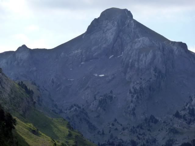
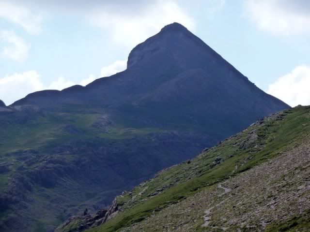
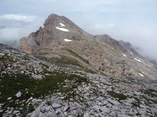
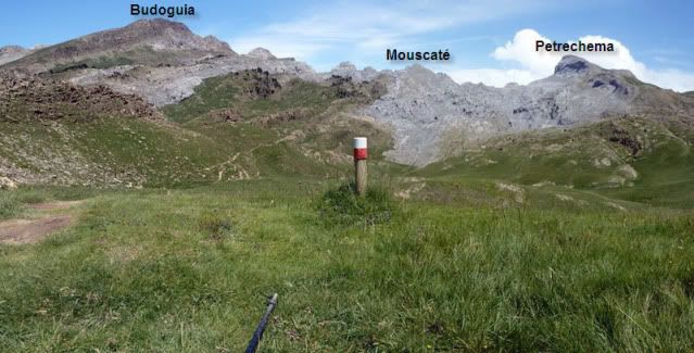
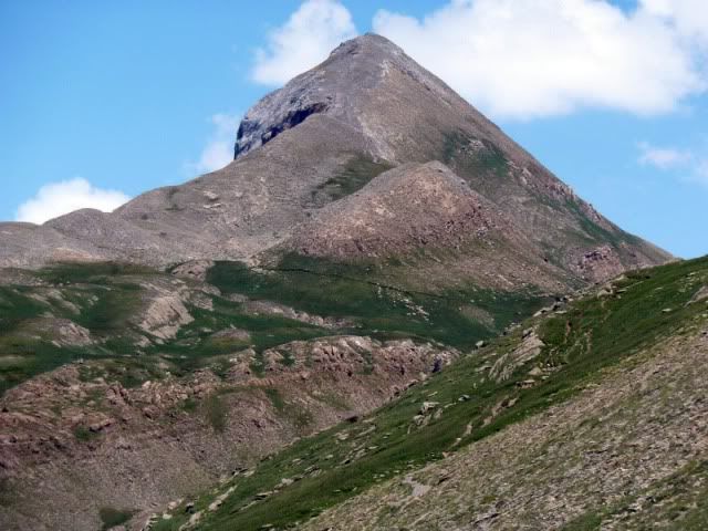
La Mesa de los Tres Reyes.
[url=http://s187.photobucket.com/albums/x273/jefoce/2010%20noviembre/?action=view&current=P1010650_resize.jpg]
[/url]
Petrechema.
[url=http://s187.photobucket.com/albums/x273/jefoce/2010%20noviembre/?action=view&current=P1010651_resize.jpg]
[/url]
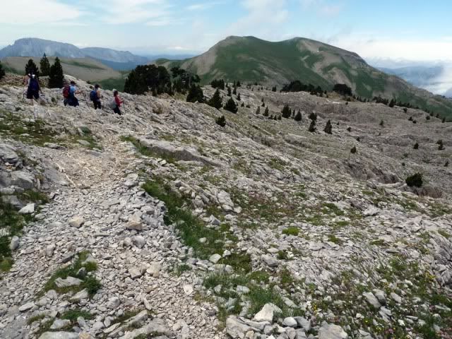
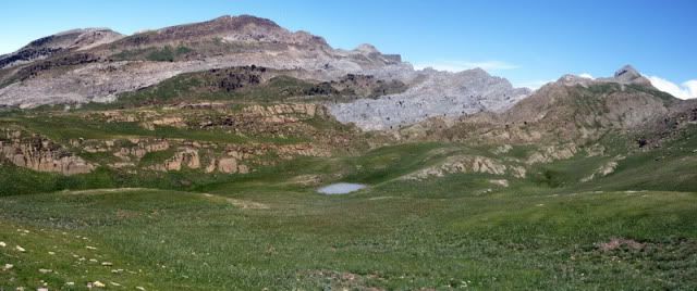
Engancho la marcha con dos cuadrillas, una aragonesa y otra navarra, camino de la Hoya de la Solana.
[url=http://s187.photobucket.com/albums/x273/jefoce/2010%20noviembre/?action=view&current=pano1_resizerepor-1.jpg]
[/url]
[url=http://s187.photobucket.com/albums/x273/jefoce/2010%20noviembre/?action=view&current=P1010655_resize.jpg]
[/url]
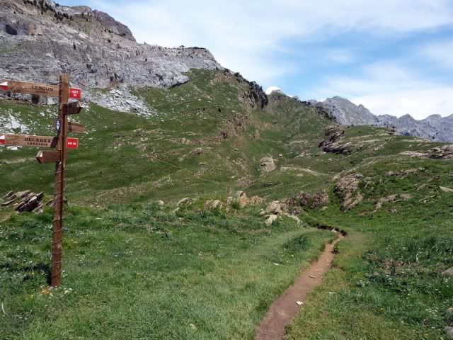
Y entonces tomo el camino que se dirige a Belagua.
[url=http://s187.photobucket.com/albums/x273/jefoce/2010%20noviembre/?action=view&current=P1010656_resize.jpg]
[/url]
[url=http://s187.photobucket.com/albums/x273/jefoce/2010%20noviembre/?action=view&current=P1010657_resize.jpg]
[/url]
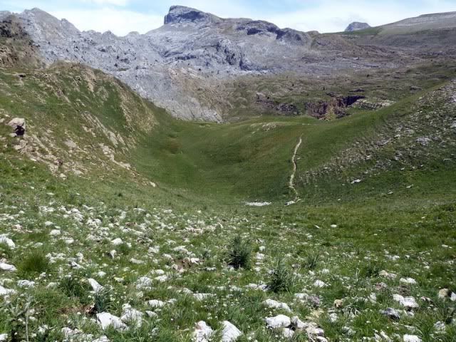
10:51. Hoya del Portillo de Larra (1.770m). Enseguida girarûˋ a la derecha (este) para superar la gran pendiente de la jornada.
[url=http://s187.photobucket.com/albums/x273/jefoce/2010%20noviembre/?action=view&current=p1010659_resizerepor.jpg]
[/url]
[url=http://s187.photobucket.com/albums/x273/jefoce/2010%20noviembre/?action=view&current=P1010661_resize.jpg]
[/url]
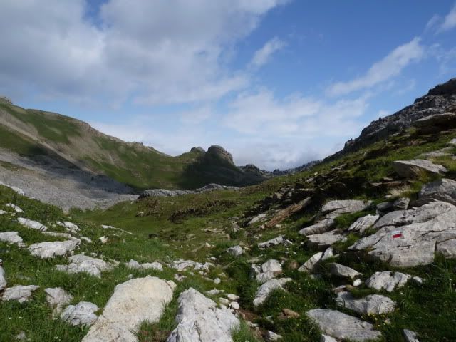
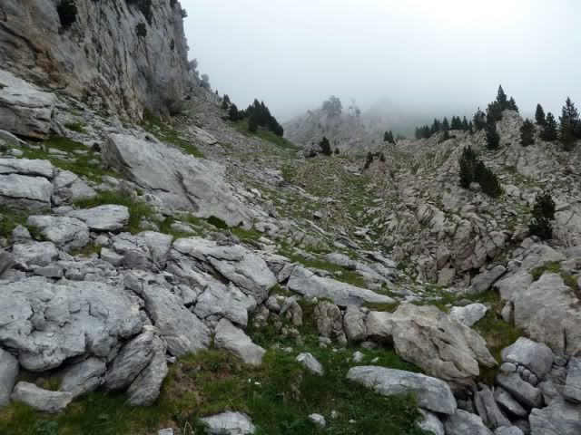
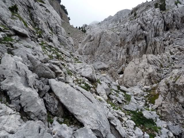
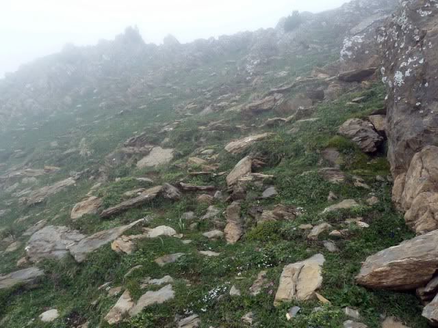
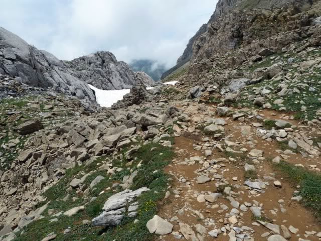
AllûÙ tengo que llegar. ûste es un tramo pesado, en el que apenas hay sendero. Hay que tirar de intuiciû°n... y de GPS. Quûˋ harûÙamos sin ûˋl...
[url=http://s187.photobucket.com/albums/x273/jefoce/2010%20noviembre/?action=view&current=p1010662_resizerepor.jpg]
[/url]
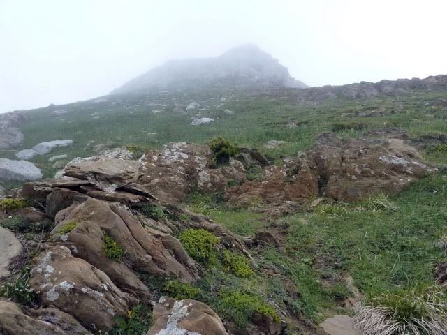
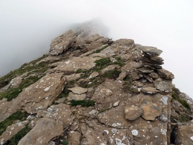
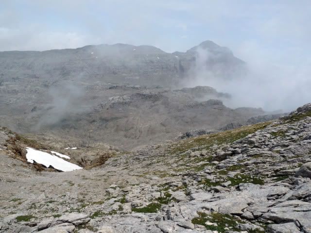
AdemûÀs, las nubes van bajando poco a poco. El ambiente se vuelve tenebroso.
[url=http://s187.photobucket.com/albums/x273/jefoce/2010%20noviembre/?action=view&current=P1010664_resize.jpg]
[/url]
[url=http://s187.photobucket.com/albums/x273/jefoce/2010%20noviembre/?action=view&current=P1010665_resize.jpg]
[/url]
[url=http://s187.photobucket.com/albums/x273/jefoce/2010%20noviembre/?action=view&current=P1010667_resize.jpg]
[/url]
[url=http://s187.photobucket.com/albums/x273/jefoce/2010%20noviembre/?action=view&current=P1010669_resize.jpg]
[/url]
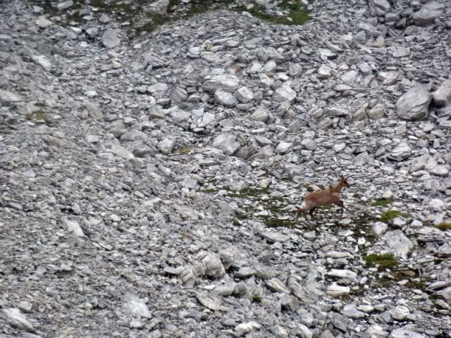
Cazo a un sarrio al vuelo.
[url=http://s187.photobucket.com/albums/x273/jefoce/2010%20noviembre/?action=view&current=P1010670_resize.jpg]
[/url]
Con este panorama alcanzo el collado meridional del Ukerdi.
[url=http://s187.photobucket.com/albums/x273/jefoce/2010%20noviembre/?action=view&current=P1010671_resize.jpg]
[/url]
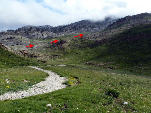
Giro al norte y voy tirando de hitos.
[url=http://s187.photobucket.com/albums/x273/jefoce/2010%20noviembre/?action=view&current=P1010672_resize.jpg]
[/url]
[url=http://s187.photobucket.com/albums/x273/jefoce/2010%20noviembre/?action=view&current=P1010673_resize.jpg]
[/url]
Apuro una chimenea.
[url=http://s187.photobucket.com/albums/x273/jefoce/2010%20noviembre/?action=view&current=P1010674_resize.jpg]
[/url]
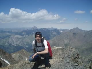
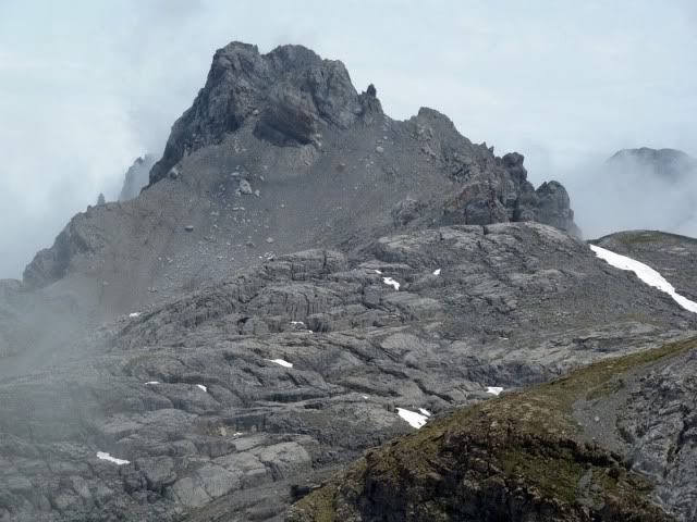
12:23. Ukerdi (2.239m), en tres horas y media desde Linza.
[url=http://s187.photobucket.com/albums/x273/jefoce/2010%20noviembre/?action=view&current=P1010675_resize.jpg]
[/url]
[url=http://s187.photobucket.com/albums/x273/jefoce/2010%20noviembre/?action=view&current=P1010676_resize.jpg]
[/url]
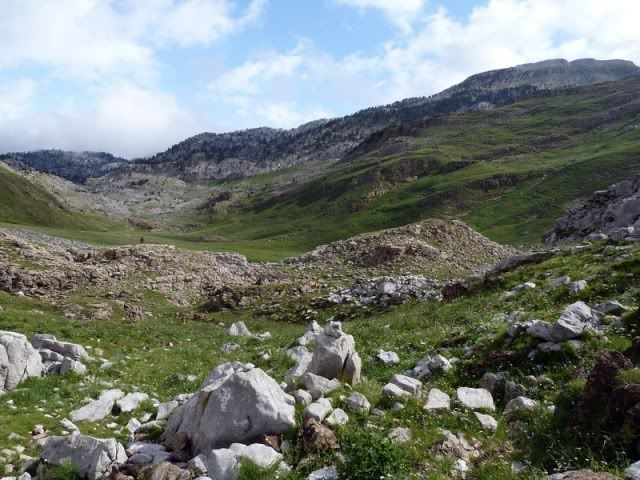
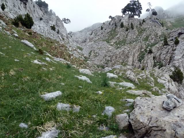
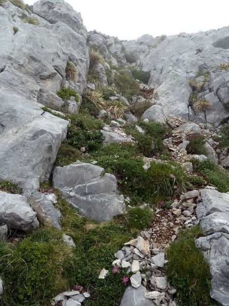
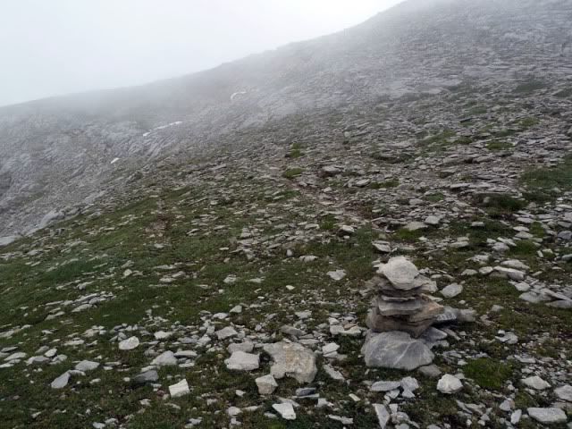
Vuelvo al collado y el GPS me va llevando por terrenos mûÀs o menos kûÀrsticos.
[url=http://s187.photobucket.com/albums/x273/jefoce/2010%20noviembre/?action=view&current=P1010677_resize.jpg]
[/url]
[url=http://s187.photobucket.com/albums/x273/jefoce/2010%20noviembre/?action=view&current=P1010678_resize.jpg]
[/url]
Bajo a un collado.
[url=http://s187.photobucket.com/albums/x273/jefoce/2010%20noviembre/?action=view&current=P1010680_resize.jpg]
[/url]
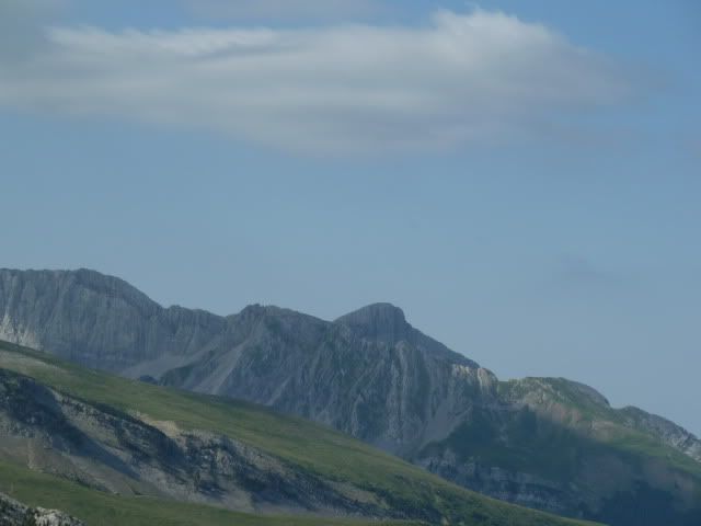
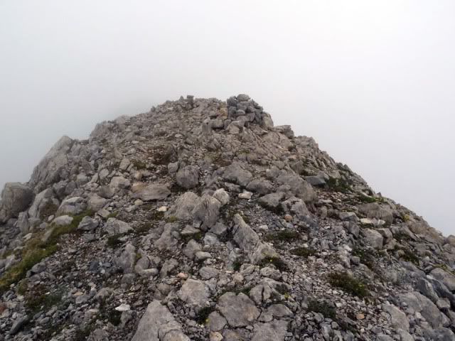
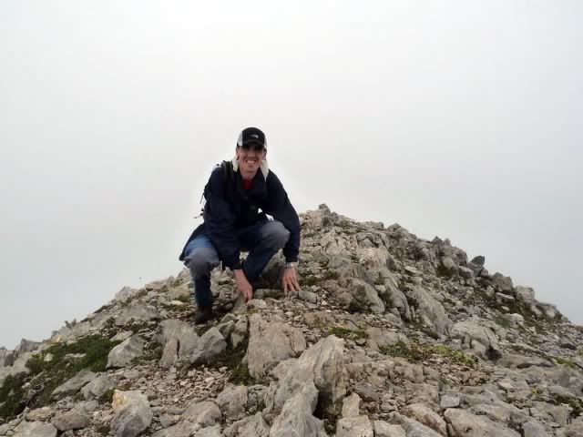
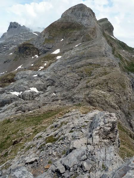
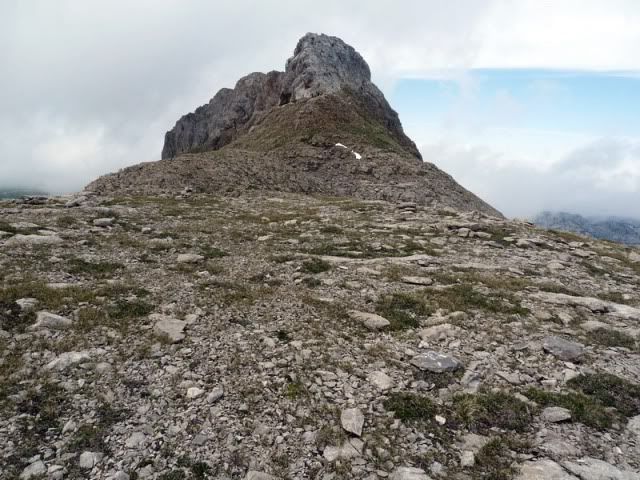
13:11. Linza (2.341m). Tras varias dudas, constato que ûˋsta es la cima de Linza.
[url=http://s187.photobucket.com/albums/x273/jefoce/2010%20noviembre/?action=view&current=P1010681_resize.jpg]
[/url]
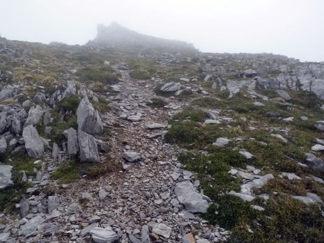
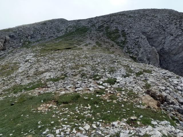
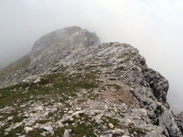
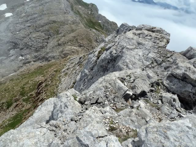
La cresta es ahora mûÀs sencilla, menos accidentada, hasta la tercera cumbre.
[url=http://s187.photobucket.com/albums/x273/jefoce/2010%20noviembre/?action=view&current=P1010682_resize.jpg]
[/url]
[url=http://s187.photobucket.com/albums/x273/jefoce/2010%20noviembre/?action=view&current=P1010683_resize.jpg]
[/url]
[url=http://s187.photobucket.com/albums/x273/jefoce/2010%20noviembre/?action=view&current=P1010684_resize.jpg]
[/url]
[url=http://s187.photobucket.com/albums/x273/jefoce/2010%20noviembre/?action=view&current=P1010685_resize.jpg]
[/url]
Aunque el patio al sur es de consideraciû°n.
[url=http://s187.photobucket.com/albums/x273/jefoce/2010%20noviembre/?action=view&current=P1010686_resize.jpg]
[/url]
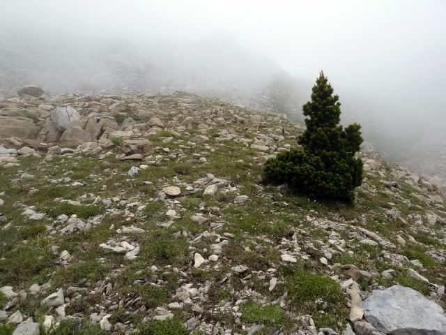
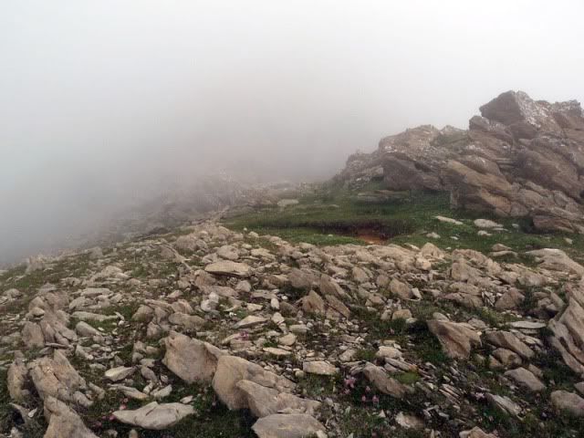
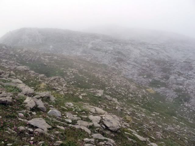
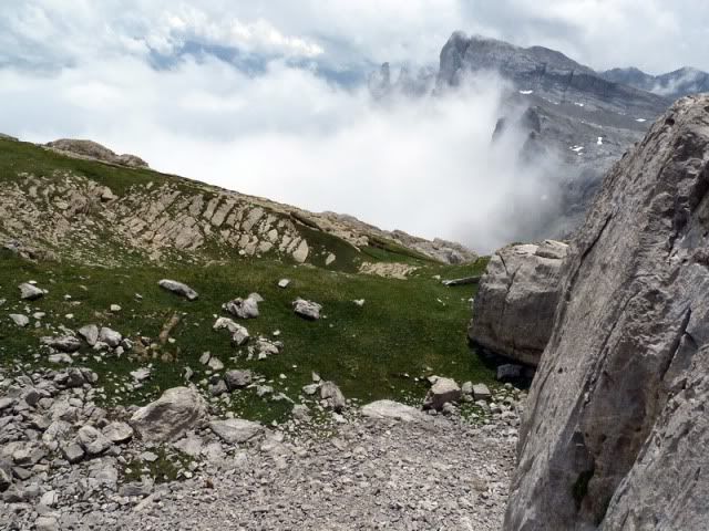
La niebla comienza a disiparse.
[url=http://s187.photobucket.com/albums/x273/jefoce/2010%20noviembre/?action=view&current=P1010687_resize.jpg]
[/url]
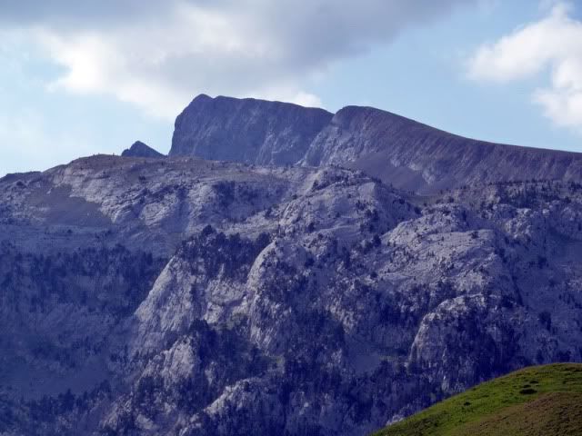
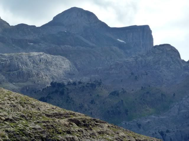
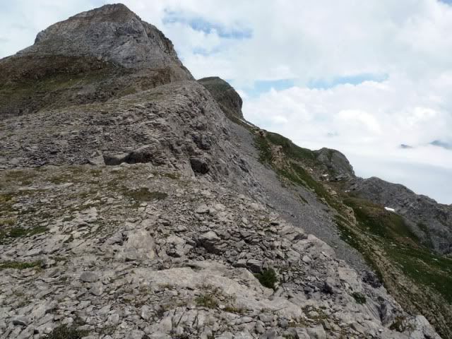
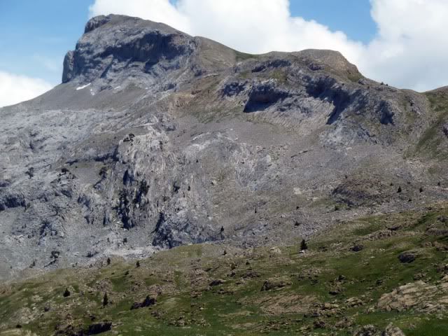
13:30. Budoguia (2.381m).
[url=http://s187.photobucket.com/albums/x273/jefoce/2010%20noviembre/?action=view&current=P1010689_resize.jpg]
[/url]
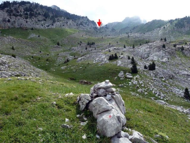
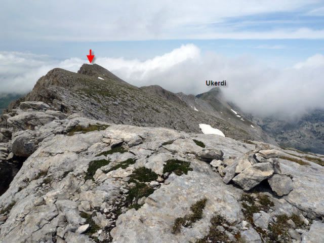
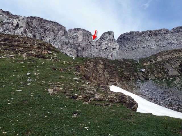
La cima seûÝalada con la flecha es Linza.
[url=http://s187.photobucket.com/albums/x273/jefoce/2010%20noviembre/?action=view&current=p1010690_resizerepor.jpg]
[/url]
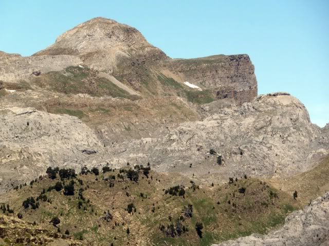
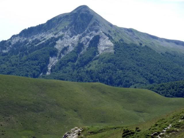
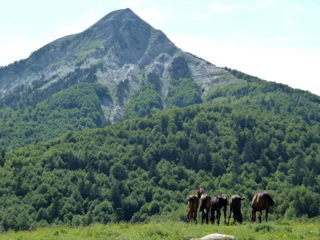
Anie.
[url=http://s187.photobucket.com/albums/x273/jefoce/2010%20noviembre/?action=view&current=P1010692_resize.jpg]
[/url]
La zona de Mouscatûˋ.
[url=http://s187.photobucket.com/albums/x273/jefoce/2010%20noviembre/?action=view&current=P1010694_resize.jpg]
[/url]
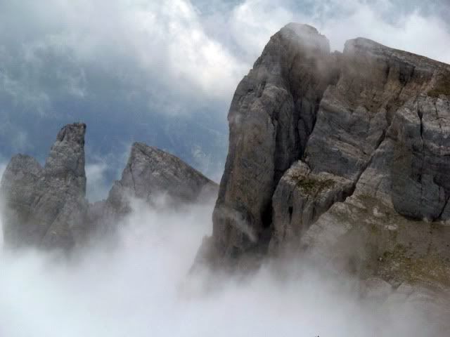
Detalle de las agujas de Ansabere.
[url=http://s187.photobucket.com/albums/x273/jefoce/2010%20noviembre/?action=view&current=P1010696_resize.jpg]
[/url]
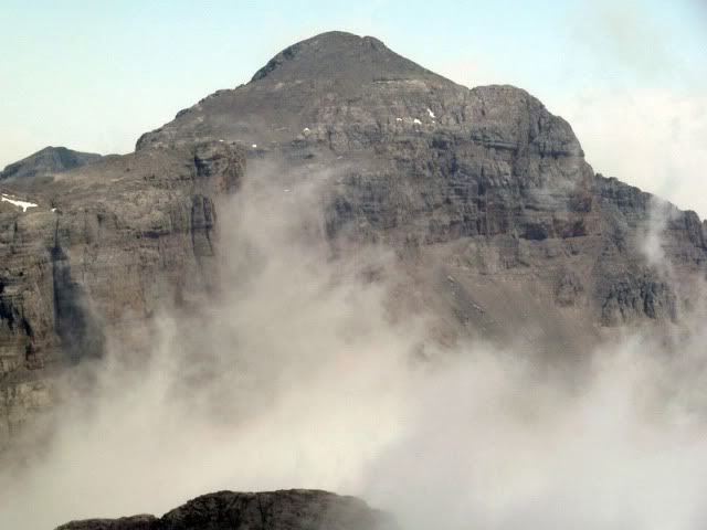
Peneblanque.
[url=http://s187.photobucket.com/albums/x273/jefoce/2010%20noviembre/?action=view&current=P1010697_resize.jpg]
[/url]
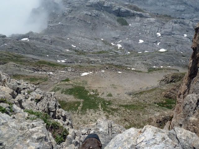
Tras comer algo, emprendo el descenso hacia el collado que separa el Budoguia con La Mesa. Hay que prestar atenciû°n en un par de destrepadas.
[url=http://s187.photobucket.com/albums/x273/jefoce/2010%20noviembre/?action=view&current=P1010698_resize.jpg]
[/url]
[url=http://s187.photobucket.com/albums/x273/jefoce/2010%20noviembre/?action=view&current=P1010699_resize.jpg]
[/url]
[url=http://s187.photobucket.com/albums/x273/jefoce/2010%20noviembre/?action=view&current=P1010703_resize.jpg]
[/url]
Por ahûÙ hemos bajado.
[url=http://s187.photobucket.com/albums/x273/jefoce/2010%20noviembre/?action=view&current=P1010704_resize.jpg]
[/url]
Y unos metros al sur tenemos el sendero.
[url=http://s187.photobucket.com/albums/x273/jefoce/2010%20noviembre/?action=view&current=P1010705_resize.jpg]
[/url]
Al que accedemos tras bajar por esa brecha.
[url=http://s187.photobucket.com/albums/x273/jefoce/2010%20noviembre/?action=view&current=p1010706_resizerepor.jpg]
[/url]
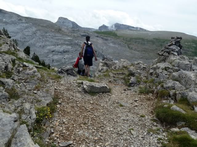
Ya sobre el sendero, vuelvo hacia Linza.
[url=http://s187.photobucket.com/albums/x273/jefoce/2010%20noviembre/?action=view&current=P1010707_resize.jpg]
[/url]
Y me uno a las cuadrillas que vuelven de La Mesa.
[url=http://s187.photobucket.com/albums/x273/jefoce/2010%20noviembre/?action=view&current=P1010708_resize.jpg]
[/url]
[url=http://s187.photobucket.com/albums/x273/jefoce/2010%20noviembre/?action=view&current=P1010709_resize.jpg]
[/url]
[url=http://s187.photobucket.com/albums/x273/jefoce/2010%20noviembre/?action=view&current=P1010710_resize.jpg]
[/url]
[url=http://s187.photobucket.com/albums/x273/jefoce/2010%20noviembre/?action=view&current=P1010711_resize.jpg]
[/url]
[url=http://s187.photobucket.com/albums/x273/jefoce/2010%20noviembre/?action=view&current=P1010712_resize.jpg]
[/url]
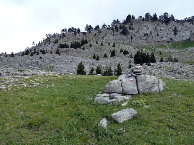
En el cruce de la maûÝana.
[url=http://s187.photobucket.com/albums/x273/jefoce/2010%20noviembre/?action=view&current=P1010715_resize.jpg]
[/url]
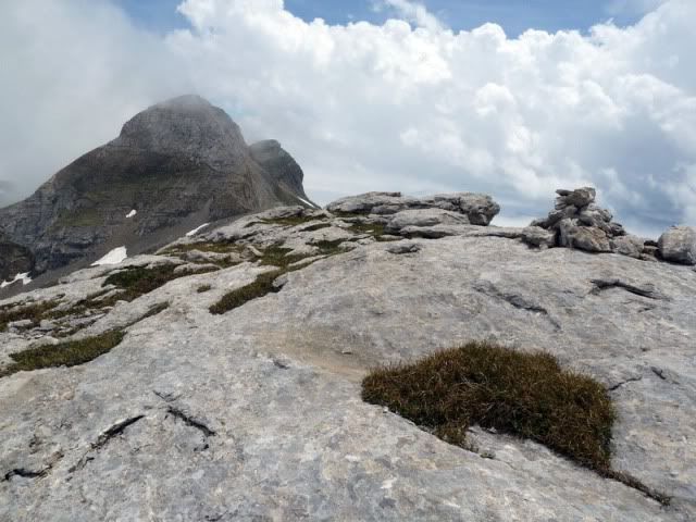
El cielo se vuelve a limpiar y queda una tarde estupenda. Cosas de la montaûÝa.
[url=http://s187.photobucket.com/albums/x273/jefoce/2010%20noviembre/?action=view&current=P1010716_resize.jpg]
[/url]
Petrechema.
[url=http://s187.photobucket.com/albums/x273/jefoce/2010%20noviembre/?action=view&current=P1010718_resize.jpg]
[/url]
[url=http://s187.photobucket.com/albums/x273/jefoce/2010%20noviembre/?action=view&current=pano2_resizerepor.jpg]
[/url]
[url=http://s187.photobucket.com/albums/x273/jefoce/2010%20noviembre/?action=view&current=pano3_resize.jpg]
[/url]
Mouscatûˋ.
[url=http://s187.photobucket.com/albums/x273/jefoce/2010%20noviembre/?action=view&current=P1010724_resize.jpg]
[/url]
La Mesa.
[url=http://s187.photobucket.com/albums/x273/jefoce/2010%20noviembre/?action=view&current=P1010725_resize.jpg]
[/url]
Petrechema.
[url=http://s187.photobucket.com/albums/x273/jefoce/2010%20noviembre/?action=view&current=P1010726_resize.jpg]
[/url]
Y los û¤ltimos metros, como suele ser habitual bajando hacia Linza, son para el Txamantxoia.
[url=http://s187.photobucket.com/albums/x273/jefoce/2010%20noviembre/?action=view&current=P1010727_resize.jpg]
[/url]
[url=http://s187.photobucket.com/albums/x273/jefoce/2010%20noviembre/?action=view&current=P1010730_resize.jpg]
[/url]
[url=http://s187.photobucket.com/albums/x273/jefoce/2010%20noviembre/?action=view&current=P1010731_resize.jpg]
[/url]
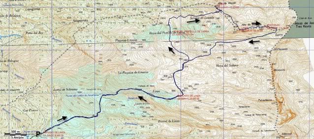
Y os dejo el mapa.
[url=http://s187.photobucket.com/albums/x273/jefoce/2010%20noviembre/?action=view&current=UkerdiyBudoguia.jpg]
[/url]
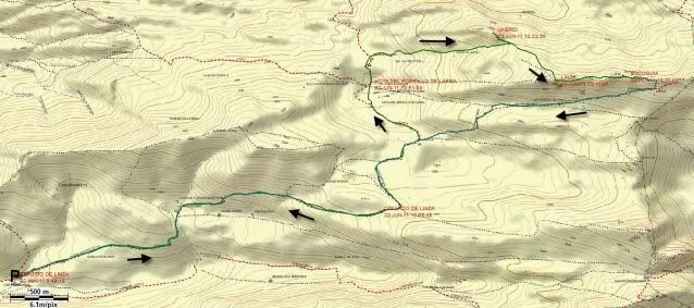
Y os dejo el mapa de Topopiris.
[url=http://s187.photobucket.com/albums/x273/jefoce/2010%20noviembre/?action=view&current=Ukerditopoiris.jpg]
[/url]
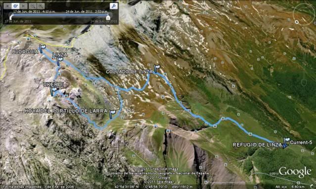
Y os dejo la imagen 3D del Google Earth.
[url=http://s187.photobucket.com/albums/x273/jefoce/2010%20noviembre/?action=view&current=ukerdi-1.jpg]
[/url]
Y os dejo el perfil.
[url=http://s187.photobucket.com/albums/x273/jefoce/2010%20noviembre/?action=view&current=Ukerdi.png]
[/url]
Y en wikiloc os dejo el track:
ver trackLAS NOTAS (La escala es del 1 al 5):
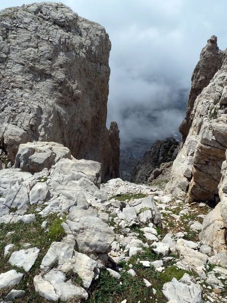
DIFICULTAD: 5. Itinerario complejo que exige muchos tramos en los que hay que extremar la precauciû°n. El entorno de las cimas es peliguado. GPS muy recomendable; indispensable con niebla.
BELLEZA DEL ITINERARIO: 4. Hay que saber apreciar el entorno salvaje del karst, aunque puede resultarnos pesado. Soledad garantizada.
IMPORTANCIA DE LA CUMBRE: 4.
AquûÙ tienen el triplete kûÀrstico. ContinuarûÀ...